
What is recorded here
Aerial photograph (CUCAP BGN 43, BOC 73) shows a cropmark of a rectangular enclosure (KD037-040001-) with entrance gaps at the E and at the W, the latter leading into a rectangular annexe (KD037-040002-) est. overall L. c. 100m E-W; est. Wth. N-S c. 50m). The second enclosure may originally have been separate, and appears to have been two-period, since there are overlying ditches. All are defined by cropmarks of fosses.
Date of upload: 15 September 2016
The monument record does not grant public access. Check the route and ask the landowner before entering private land.
- What survives
- Recorded monument
Places near here
 Enclosure in Castleroe WestEnclosure · 785 yd
 Church in Kilkea UpperChurch · 1093 yd
 Enclosure in Kilkea UpperEnclosure · 1134 yd
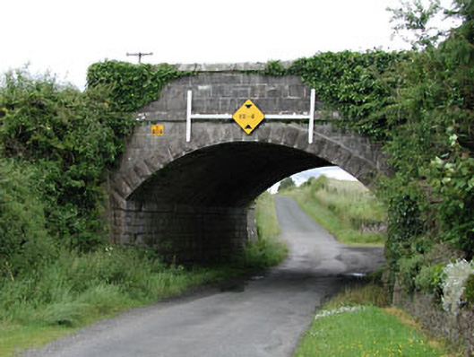 bridgebridge · 1179 yd
 CastleCastle, tower house · 1519 yd
 Dollardstown WoodForest · 1.5 mi
 Kilkea CastleCastle, tower house · 1.7 mi
 Lorcán Ó TuathailMemorial · 1.7 mi
 Mullaghreelan WoodForest · 2.0 mi
 ProclamationMemorial · 3.3 mi
 Franciscan FriaryHeritage attraction · 3.6 mi
 Castledermot Round TowerHeritage attraction · 3.6 mi
Other information
Photo: Credit not shown in the picture search · Rights wording not checked; contact us if this picture should be removed