What is recorded here
In rough pasture, on a NE-facing slope, overlooking Gowlane Lake. An irregular-shaped area (int. 96m NW-SE; 88m NE-SW) defined by the lower courses of a collapsed drystone wall (T c. 0.6m; H 0.6m). The large stones in the lower courses, which are partly grass covered, protrude above the blanket bog. Rubble from the upper courses is strewn along the perimeter. Two hut sites (KE108-049008-, KE108-049002-) are adjacent to the internal faces of the NW and NE walls of the enclosure respectively. Another enclosure (KE108-049006-) is 18m to the SE.
The above description is derived from the published 'Archaeological Inventory of County Kerry. Volume I: South-West Kerry' (Dublin: Stationery Office, 2009). In certain instances the entries have been revised and updated in the light of recent research.
Date of upload: 30 May 2011
The monument record does not grant public access. Check the route and ask the landowner before entering private land.
- What survives
- Recorded monument
Places near here
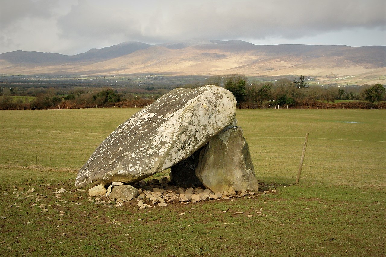 Megalithic structure in Lehid (glanarought By.)Megalithic structure · 106 yd
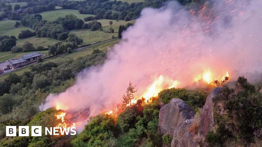 Burnt spread in Lehid (glanarought By.)Burnt spread · 593 yd
 KnockateeMountain / peak · 610 yd
 DrombohillyMountain / peak · 1165 yd
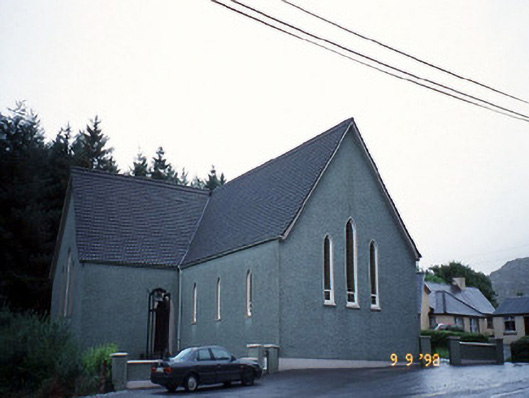 Saint Killian's Catholic Churchchurch/chapel · 1705 yd
 Habitat of DerreeniesNature reserve · 1.1 mi
 IndicatedHouse, vernacular house · 1.1 mi
 Soft Tree-fernSoft Tree-fern · 1.1 mi
 Ormond's IslandIslet · 3.1 mi
 Crane IslandIslet · 3.1 mi
 DroppaCliff · 3.4 mi
 Lackeen PointHeadland · 4.7 mi