What is recorded here
Not visible at ground level. Natural hollow depression in area marked on OS 6-inch map, may be a geological feature only. Aerial photographs (Air Corps 716/717) shows outline of possible circular enclosure.
The above description is derived from the published 'Archaeological Inventory of County Offaly' (Dublin: Stationery Office, 1997). In certain instances the entries have been revised and updated in the light of recent research.
Date of upload: 23 May 2011
The monument record does not grant public access. Check the route and ask the landowner before entering private land.
- What survives
- Recorded monument
Places near here
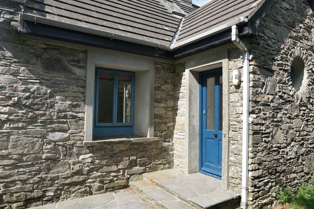 Enclosure in BallyroeEnclosure · 1181 yd
 Enclosure in MoneyEnclosure · 1290 yd
 Knockbarron WoodForest · 1.3 mi
 Bawn in Annaghmore AND AnnaghbegBawn · 1.3 mi
 CastleCastle, tower house · 1.4 mi
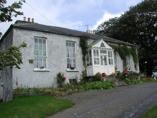 Heath Lodgehouse · 1.8 mi
 Drumcullen Church in ruinsChurch · 2.2 mi
 Moneyguyneen WoodWood · 2.4 mi
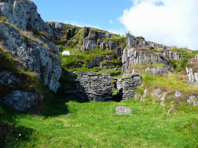 Saint Cormac's WellSpring · 2.8 mi
 Waypoint 1Visitor information · 2.9 mi
 Castletown and GlinskVisitor information · 2.9 mi
 Arthur's WellSpring · 3.0 mi