What is recorded here
This monument was identified in the course of a review of LiDAR data (pers. comm. Dr Stephen Davis, 2 October 2014). Sited on a slope it consists of the remains of an enclosure (dimensions c. 43m NW-SE by 40m NE-SW) defined by a single bank. The enclosue is visible on an aerial photo (taken 21 January 2005 (Google, Digital Globe); attached as DU026-163----_02.jpg).
The attached images are uploaded courtesy of Dr Stephen Davis, School of Archaeology, University College Dublin.
Compiled by: Paul Walsh
Date of upload: 2 October 2014
The monument record does not grant public access. Check the route and ask the landowner before entering private land.
- What survives
- Recorded monument
Places near here
 Habitation site in LaughanstownHabitation site · 257 yd
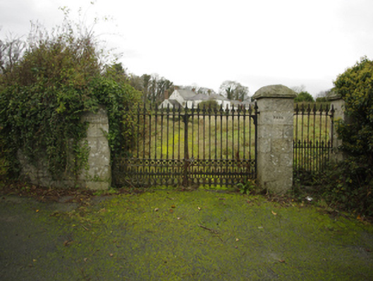 Lehaunstown Parkfarm house · 436 yd
 CairnCairn, ring-cairn · 439 yd
 Church (in Ruins)Church · 819 yd
 Puck's CastleCastle · 1205 yd
 Bawn in RathmichaelBawn · 1236 yd
 Rathmichael WalkWalking route · 1504 yd
 Dingle GlenNature reserve · 1610 yd
 Loughlinstown WoodsNature reserve · 1.2 mi
 Proclamation of the Irish RepublicMemorial · 1.4 mi
 Cabinteely Park OrchardVisitor information · 1.5 mi
 Cabinteely ParkVisitor information · 1.5 mi