What is recorded here
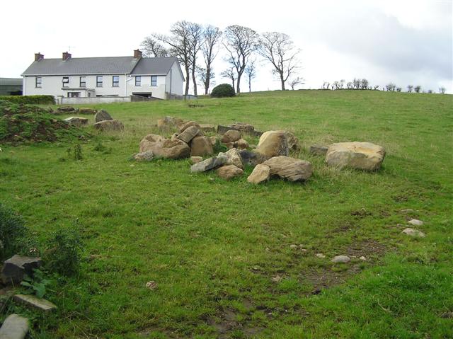
Knockycallanan holds a thirty-five-metre labyrinth on the exposed summit of Turlough Hill, built from four low banks of gravel and slabs that merge, break and reappear beside ancient hut sites. The chambers avoid the enclosure rather than cluster around it, suggesting the winding stone path marked a boundary between everyday life and ceremonial experience. People may have walked those overlapping rings under open sky, using the labrynthine shape to enter thought, memory or ritual before returning through the gaps.
On the E portion of the exposed summit of Turlough Hill, in association with a large cluster of hut sites (CL006-017001-) to the N and W that avoid the ‘enclosure’ area and a large cairn (CL006-017002-) at the W end of the summit. A multivallate enclosure or labyrinth-style feature (diam. c. 35m), irregular in plan and comprising four low, partly concentric ‘banks’ (Wth c. 1m; H c. 0.2m) of gravel and slabs, discovered through aerial survey and difficult to see at ground level. The banks are in some parts very fragmentary, poorly defined and overlapping while well defined in others. This is likely to have had a ceremonial function. (Bergh 2008; Berg, Ó Maoldúin and McCarthy 2016)
Compiled by: Mary Tunney
Date of upload: 20 December 2017
The monument record does not grant public access. Check the route and ask the landowner before entering private land.
- What survives
- Recorded monument
Places near here
 Turlough HillMountain / peak · 338 yd
 Hillfort in OughtmamaHillfort · 958 yd
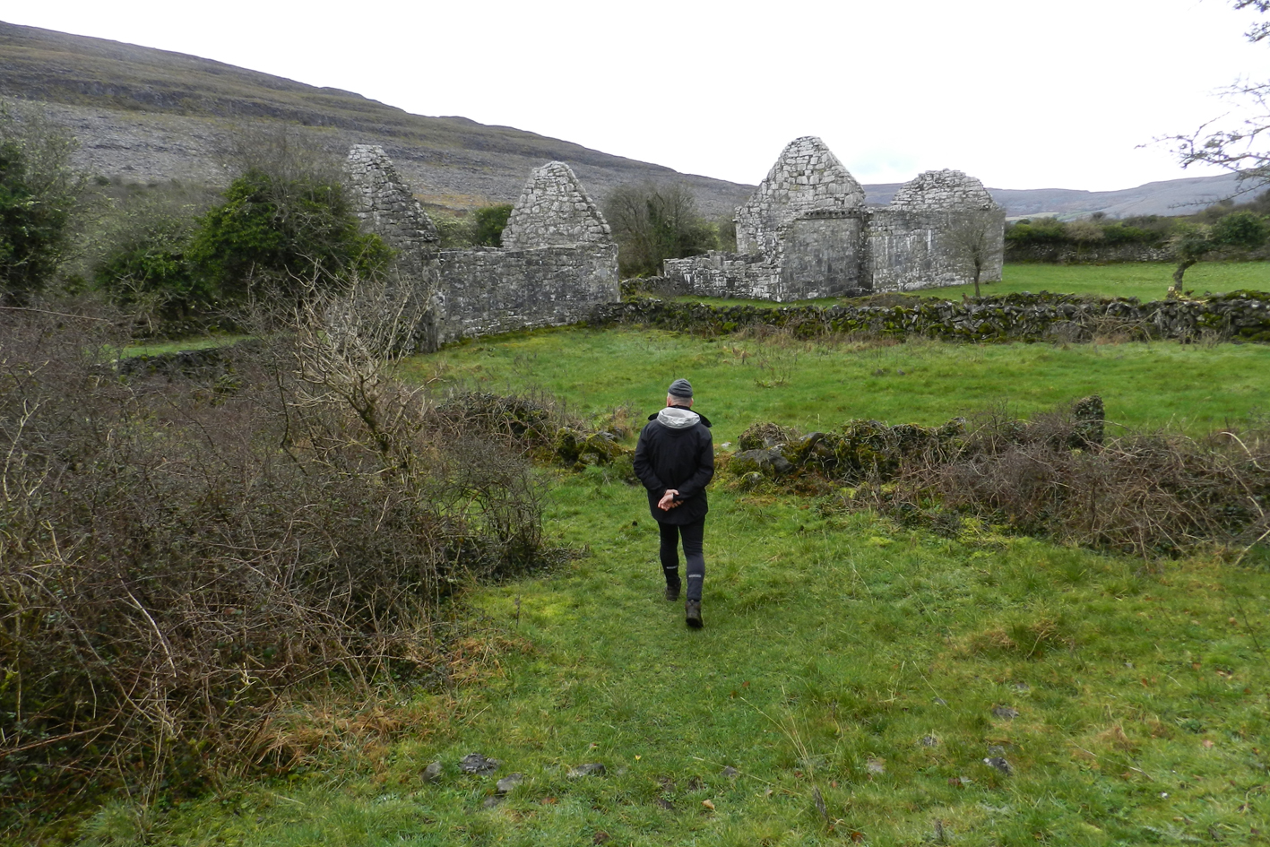 IndicatedEcclesiastical enclosure · 991 yd
 Oughtmama Church (in ruins)Church · 1019 yd
 Church (in ruins)Church · 1052 yd
 Corcomroe AbbeyVisitor information · 1.4 mi
 Corcomroe Abbey Geopark SiteVisitor information · 1.4 mi
 Battle of Lough Raskabattle · 1.7 mi
 Turlough CastleArchaeological place · 1.8 mi
 Abbey HillMountain / peak · 2.2 mi
 Castle Mael (in ruins)Castle, unclassified · 2.2 mi
 Saint Patrick's ChurchHeritage attraction · 2.3 mi
Other information
Photo: Credit not shown in the picture search · Rights wording not checked; contact us if this picture should be removed