What is recorded here
On a rise in grassland. Marked on OS 6-inch maps as a circular enclosure (D c. 60m) cut by a field wall at N and S. All that survives is a section of a curving bank (L c. 7m) to W of the wall.
The above description is derived from the published 'Archaeological Inventory of County Galway Vol. II - North Galway'. Compiled by Olive Alcock, Kathy de hÓra and Paul Gosling (Dublin: Stationery Office, 1999).
Date of upload: 05 August 2010
A local fairy fort (ringfort/rath); wider significance not recorded.
The monument record does not grant public access. Check the route and ask the landowner before entering private land.
- What survives
- Recorded monument
Places near here
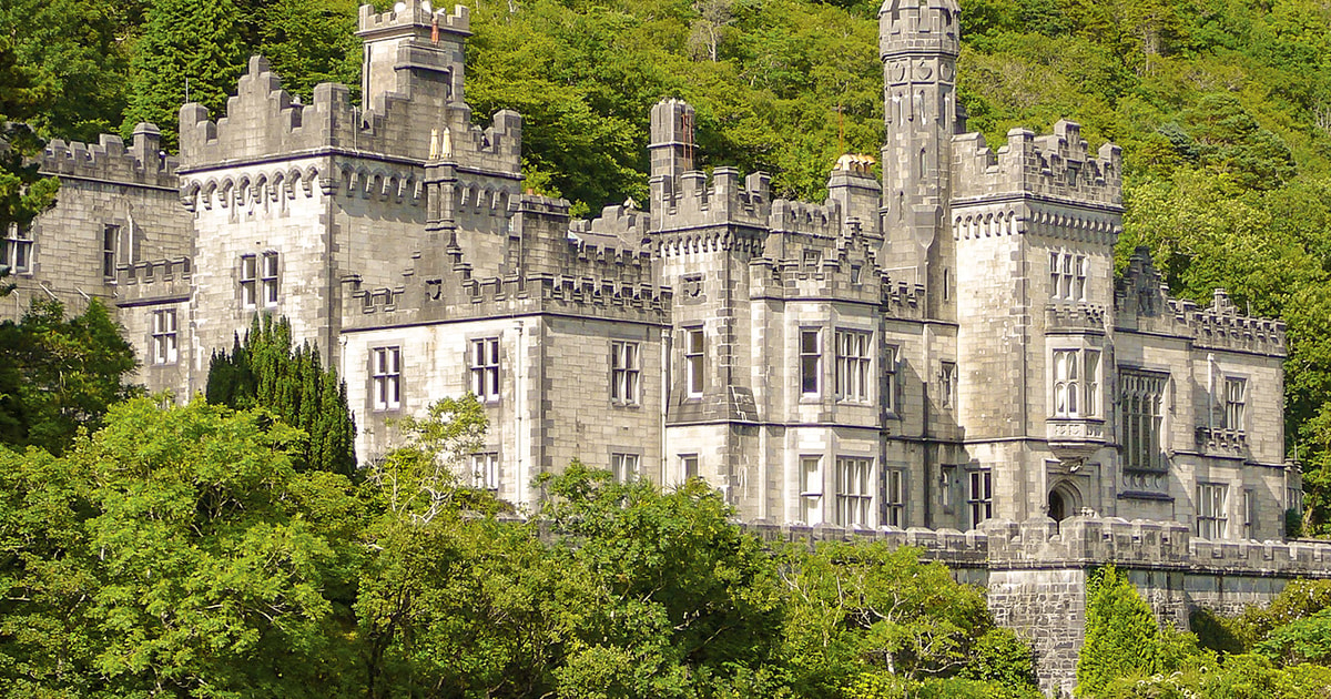 Tober ImorHoly well · 1188 yd
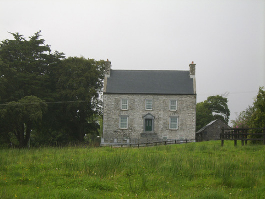 Killimor Castlecountry house · 1314 yd
 R.C. ChapelChurch · 1390 yd
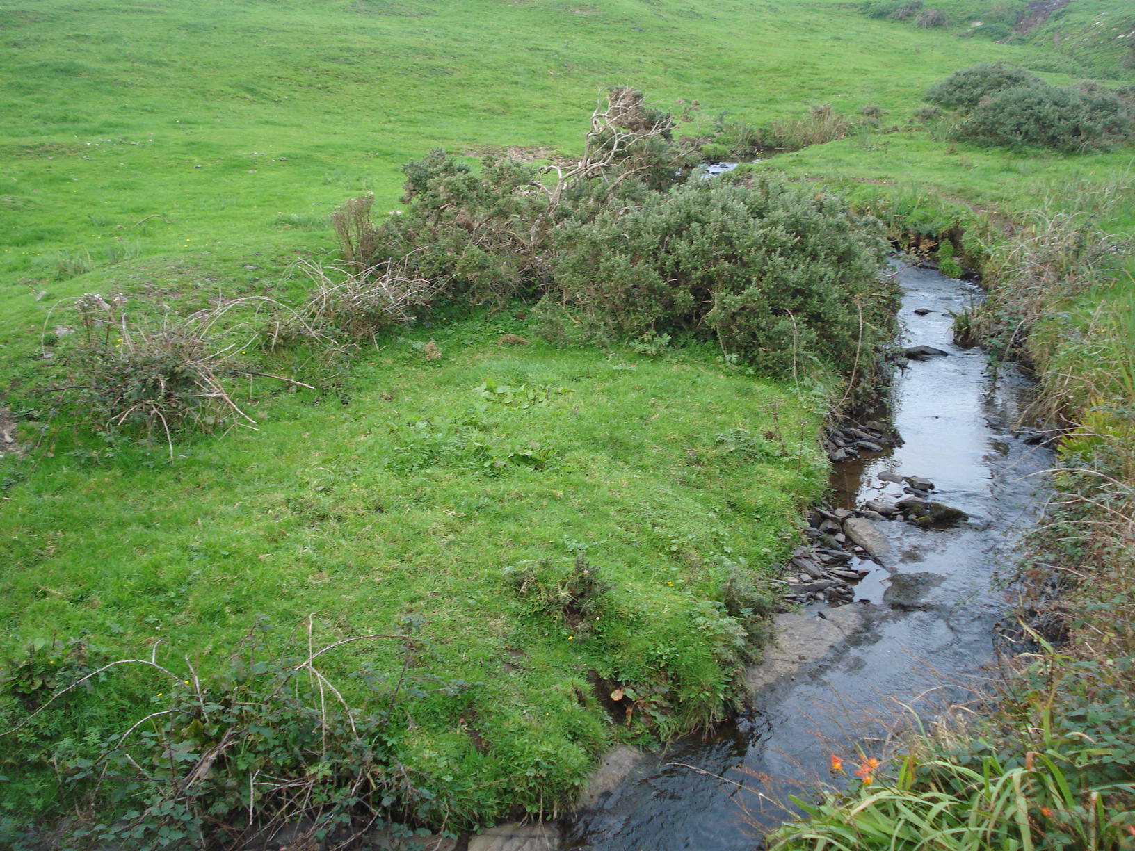 Field system in Carrowkeel (athenry By.)Field system · 2.0 mi
 Galboley Castle (in ruins)Castle, unclassified · 3.0 mi
 Turoe StoneHeritage attraction · 3.3 mi
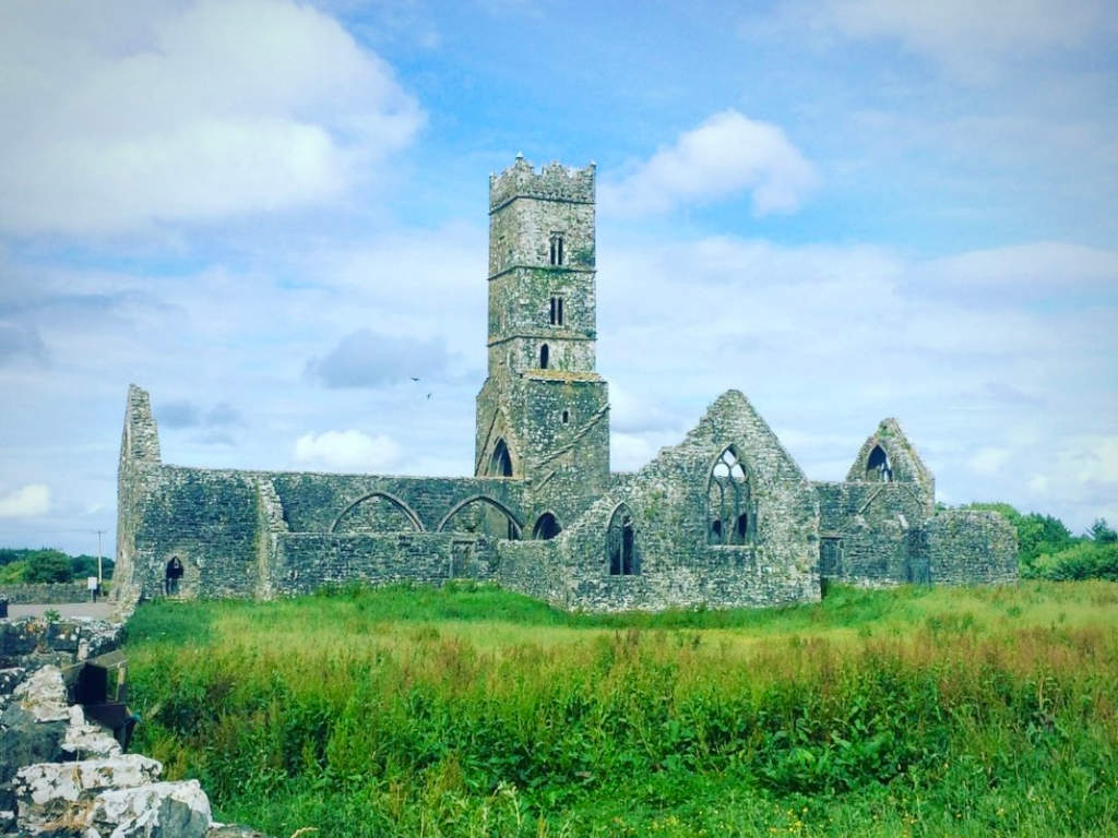 Cloonbrusk Castle (in ruins)Castle, unclassified · 3.6 mi
 Woodlawn WoodsForest · 4.9 mi
 Moyard WoodWood · 5.1 mi
 Barrack IslandIslet · 6.8 mi
 Middle IslandIslet · 6.9 mi
 Dartfield Horse MuseumHeritage attraction · 7.0 mi