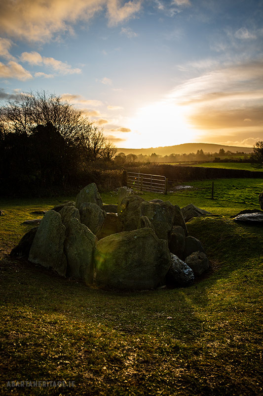
What is recorded here
Knockroe holds a hidden circular enclosure on the lower west slope of Derk Hill, nestled between a ringfort and another enclosure near the Knockderk boundary. Sheep may still walk across the shallow depression without knowing they graze above an old chamber, while the hill keeps its shape out of human memory.
In improved pasture on the lower W facing slope of Derk Hill the summit of which (OD 781 ft.) lies 860m to E. A watercourse marking the townland boundary with Knockderk lies 35m to E. Ringfort (LI033-026----) lies 225m to W and enclosure (LI033-074002-) 85m to E. Not depicted on historic OSi maps. Identified by Bruff aerial photographic survey in 1986 (Bruff 133; AP 4/3629) as a circular-shaped cropmark. Visible as a roughly circular-shaped depression (diam. c. 30m) on OSi orthophotos taken between 2005-12 and on Google Earth orthoimage dated 20/09/2020.
See attached Google Earth orthoimages
Compiled by: Martin Fitzpatrick
Date of upload: 29 March 2021
The monument record does not grant public access. Check the route and ask the landowner before entering private land.
- What survives
- Recorded monument
Places near here
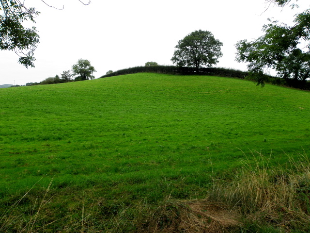 BarrowBarrow, ditch barrow · 431 yd
 Enclosure in KnockderkEnclosure · 756 yd
 Carrickittle RockCastle, unclassified · 1513 yd
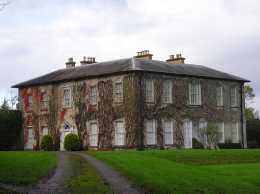 Derkcountry house · 1.2 mi
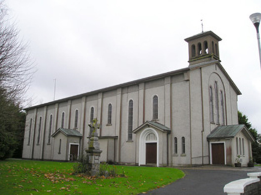 Catholic Church of Saint Patrick and Saint Brigidchurch/chapel · 1.3 mi
 St. Patrick's WellSpring · 1.3 mi
 (Site of) CastleCastle, unclassified · 1.3 mi
 Kilteely HillMountain / peak · 1.5 mi
 KnockseefinMountain / peak · 2.4 mi
 Flat cemetery in Knockainy WestFlat cemetery · 5.2 mi
 St Patrick's WellSpring · 6.9 mi
 Ballinvreena LoopVisitor information · 9.8 mi
Other information
Photo: Credit not shown in the picture search · Rights wording not checked; contact us if this picture should be removed