
What is recorded here
Knockroe holds a forgotten circular enclosure on the west slope of its prominent hill, visible only when grass grows unevenly after rain. The shape resisted mapping and survived drainage cuts, suggesting human hands shaped the land before modern fields erased its edges. It may have marked a boundary, a ceremony or a warning, but the earth kept the circle hidden from ordinary sight.
In reclaimed pasture on W slope of prominent hill in Knockroe townland. Not depicted on OSi maps. Identified by Bruff aerial photographic survey in 1986 (Bruff 56; AP 4/3630) as a circular shaped cropmark. No surface remains visible on OSi orthophotos taken between 2005-2012 where drainage channels are visible running N-S and E-W. The possible monument is visible as a vague cropmark from E-S-SW on Google Earth orthoimage dated 20/09/2020.
See attached Google Earth orthoimages
Compiled by: Martin Fitzpatrick
Date of upload: 23 March 2021
The monument record does not grant public access. Check the route and ask the landowner before entering private land.
- What survives
- Recorded monument
Places near here
 BarrowBarrow, pond barrow · 300 yd
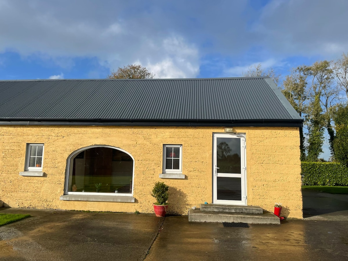 Hut site in KilteelyHut site · 1108 yd
 St. Patrick's WellSpring · 1221 yd
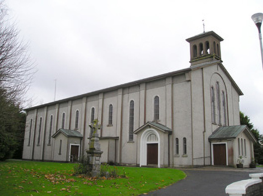 Catholic Church of Saint Patrick and Saint Brigidchurch/chapel · 1288 yd
 R.C. ChapelChurch · 1343 yd
 Carrickittle RockCastle, unclassified · 1418 yd
 Kilteely HillMountain / peak · 1683 yd
 (Site of) CastleCastle, unclassified · 1.7 mi
 KnockseefinMountain / peak · 2.5 mi
 Flat cemetery in Knockainy WestFlat cemetery · 4.9 mi
 St Patrick's WellSpring · 6.8 mi
 Ballinvreena LoopVisitor information · 9.7 mi
Other information
Photo: Credit not shown in the picture search · Rights wording not checked; contact us if this picture should be removed