What is recorded here
In pasture, on a SE-facing slope. A possible circular enclosure (diam. c. 50m), highlighted by melting snow, is visible in an aerial photograph (CASAP) taken in January 1984. This possible enclosure is not visible at ground level.
The above description is derived from 'The Archaeological Inventory of County Cork. Volume 5' (Dublin: Stationery Office, 2009).
Date of upload: 22 December 2009
The monument record does not grant public access. Check the route and ask the landowner before entering private land.
- What survives
- Recorded monument
Places near here
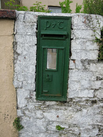 post boxpost box · 743 yd
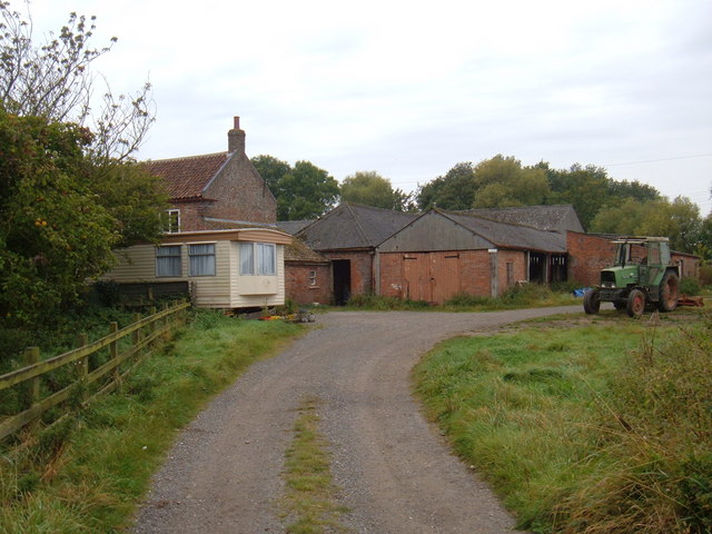 Hornhill BrBridge · 831 yd
 Knockaneirk Stone CircleArchaeological place · 1092 yd
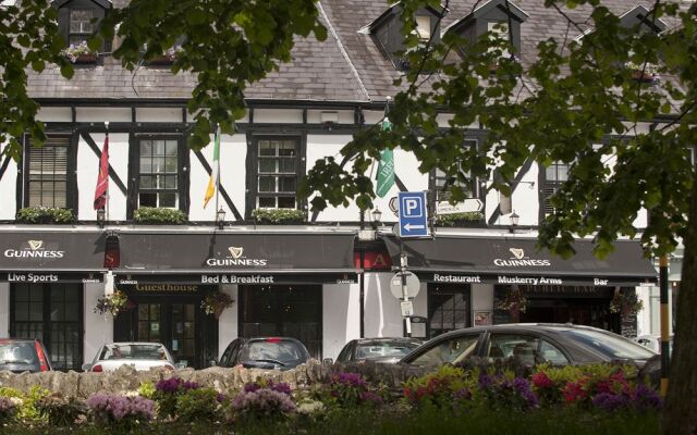 Fulacht FianFulacht fia · 1.1 mi
 Green HillMountain / peak · 1.4 mi
 Kilmurry WoodsPicnic place · 1.7 mi
 Independence MuseumMuseum · 1.8 mi
 Priest MemorialMemorial · 1.9 mi
 Summerhouse WoodForest · 2.0 mi
 Michael Collins MemorialMemorial · 2.0 mi
 Andrew's WoodWood · 2.3 mi
 Clodah CastleCastle · 3.0 mi