What is recorded here
In reclaimed pasture. Formerly within Golden Grove demesne but there is no indication of any landscape feature at this location on the 1st (c. 1840) or subsequent revision of the 6-inch OS map. A roughly circular raised area (diam. c. 41m N-S; c. 45m E-W) defined by a wide low bank is visible on satellite imagery (© Google Earth, imagery date 30 November 2009 and 26 October 2019), identified and reported by Jean-Charles Caillère.
See attached Google Earth images:
OF042-058----_01 (Google Earth imagery date 30 November 2009)
OF042-058----_02 (Google Earth imagery date 26 October 2019)
Compiled by: Jean Farrelly
Date of upload: 21 April 2020
The monument record does not grant public access. Check the route and ask the landowner before entering private land.
- What survives
- Recorded monument
Places near here
 Golden Grove WoodWood · 468 yd
 Golden Grove HillMountain / peak · 574 yd
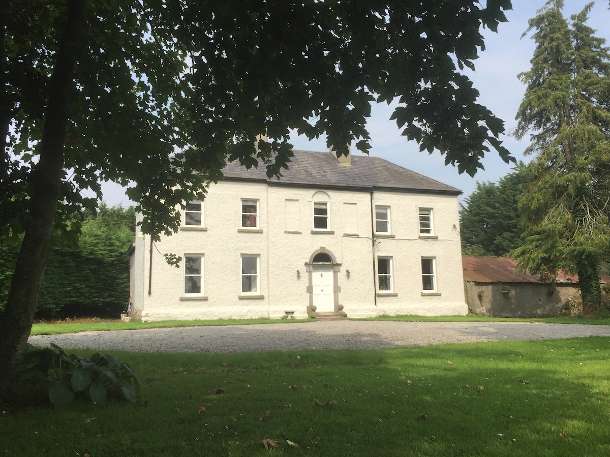 Enclosure in Ballyrickard MoreEnclosure · 1139 yd
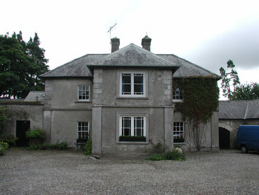 Fancroft Millsmiller's house · 1410 yd
 IndicatedCastle, motte · 1449 yd
 BarrowBarrow, mound barrow · 1666 yd
 Chapel (in ruins)Church · 1724 yd
 Eagle HillMountain / peak · 1.1 mi
 CastleCastle, tower house · 1.2 mi
 Millennium GardenMemorial · 2.2 mi
 White MulberryWhite Mulberry · 2.3 mi
 Roscrea Petty Sessions HouseHeritage attraction · 2.6 mi