
What is recorded here
Knocklong East holds two rectangular shadows in open pasture, likely medieval moated sites hidden from historic maps. They appeared only when gas pipeline planes crossed the field in 1984, suggesting human hands shaped the land before surveyors learned its name. The race course nearby may have reused the same earthworks, turning old defense into spectacle and forgetting the first builders.
In pasture, associated with a possible field system (LI040-137001-). Not marked on OSi historic maps. Two rectangular features identified as potential medieval moated sites on aerial photographs (BGE 1/5000 2571, Strip map 41, site 4/39) taken 03/11/1984 on Bórd Gáis Éireann Curraleigh West-Limerick gas pipeline. Single rectangular cropmark visible on (dims. c. 8m N-S x 10m E-W) on Digital Globe orthoimage taken 2011-13. Cropmark also visible on Google Earth orthoimage dated 14/09/2019. Outline of Knocklong Race Course indicated on 1897 ed. OSi 25-inch map, some of the earthworks visible on gas pipeline aerial images may be related to the race course.
See attached Google Earth orthoimages.
Compiled by: Fiona Rooney
Date of upload: 15 June 2021
The monument record does not grant public access. Check the route and ask the landowner before entering private land.
- What survives
- Recorded monument
Places near here
 Field system in Knocklong EastField system · 98 yd
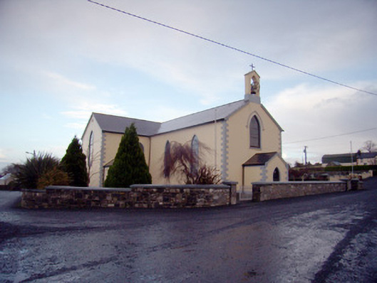 Saint Joseph's Catholic Churchchurch/chapel · 396 yd
 Knocklong Fort, HachuredMound · 579 yd
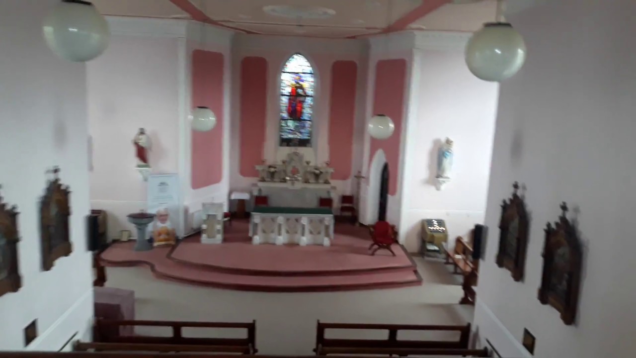 Church (in Ruins)Church · 712 yd
 Castle (in ruins)Castle, tower house · 801 yd
 St Patrick's WellSpring · 893 yd
 Edmund's WellSpring · 1.1 mi
 Mote - HachuredCastle, motte · 1.7 mi
 Ballinvreena LoopVisitor information · 2.6 mi
 SlievereaghMountain / peak · 3.2 mi
 Flat cemetery in Knockainy WestFlat cemetery · 3.7 mi
 Darby's Bed Walk LoopWalking route · 4.1 mi
Other information
Photo: Credit not shown in the picture search · Rights wording not checked; contact us if this picture should be removed