What is recorded here
In improved pasture, on a NW-facing slope. It is depicted on the 1st (1840) ed. OS 6-inch map as an oval enclosure (int. dims. c. 37m) with a fosse from S-W-NW. By the 2nd 1903-04 ed. (overall diam. c. 50m) the N-E-SE is not depicted. An arc (Chord 29m NW-SE; dims. 19m NE-SW from chord to bank) of modified bank (overall Wth 5m; Wth at top 2m; int. H 0.7m; ext. H 1m) is visible from SE-S-SW and the remains of a levelled bank (Wth at top 4m; overall Wth 9.9m; int. H 0.1m; ext. H 1.1m) from SW-W-NW which is practically reduced to scarp and is levelled from NW-N-SE; and the remains of waterlogged fosse (overall Wth 3.5m; basal Wth 2.3m; D 0.45m) in the W quadrant. The possible remains of a modified fosse (Wth 3m; D 1m) have been re-cut as a drain in the S quadrant which is choked with vegetation. A field boundary runs E-W along the S edge. The interior slopes to the NW.
Compiled by: Jean Farrelly
Date of upload: 26 August 2011
The monument record does not grant public access. Check the route and ask the landowner before entering private land.
- What survives
- Recorded monument
Places near here
 Knockkelly CastleCastle · 604 yd
 Enclosure in KnockkellyEnclosure · 814 yd
 Enclosure in Saucestown (rathcool Par.)Enclosure · 1411 yd
 Brook Hillhouse · 1576 yd
 Slainstown Castle (in ruins)Castle, tower house · 1658 yd
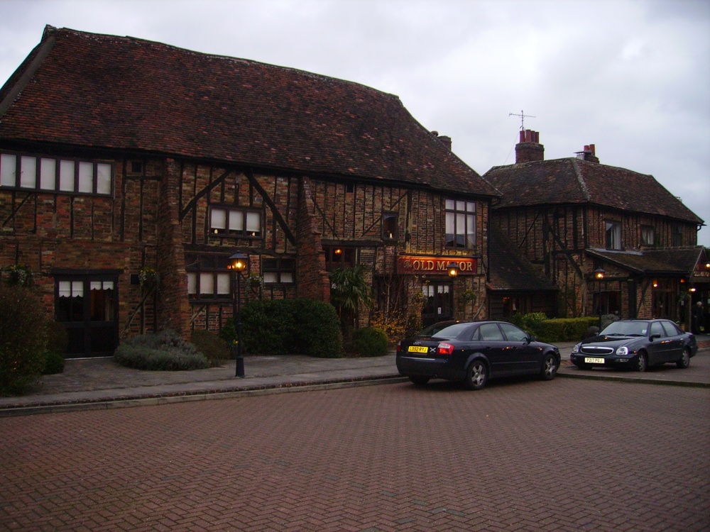 Old Manor Ho. (in ruins)House, 17th century · 1749 yd
 Kilknockan HillMountain / peak · 1.2 mi
 East GateMemorial · 2.1 mi
 European YewEuropean Yew · 2.2 mi
 Grove WoodForest · 2.9 mi
 Eagle HillMountain / peak · 4.1 mi
 Gobban Saer's GraveArchaeological place · 8.2 mi