What is recorded here
Situated at the E end of a low E-W ridge. A circular grass-covered area (diam. c. 38m N-S; c. 35m E-W) defined by what is probably a low earthen bank is most clearly visible on Google Earth (17/01/2020) and also on Digitalglobe (2011-13) but hardly at all on other aerial images. It was first reported by Jean Charles Caillére.
See the attached enhanced view from Google Earth (14/09/2019)
Compiled by: Michael Moore
Date of upload: 11 October 2021
The monument record does not grant public access. Check the route and ask the landowner before entering private land.
- What survives
- Recorded monument
Places near here
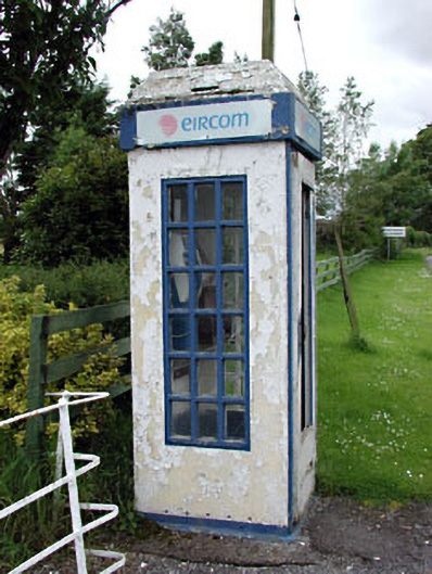 telephone boxtelephone box · 1735 yd
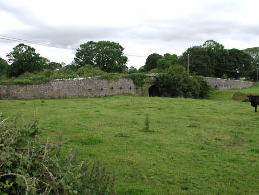 Castlejordan Bridgebridge · 1742 yd
 Castle JordanArchaeological place · 1.0 mi
 CastleCastle, tower house · 1.0 mi
 EnclosureEnclosure, large enclosure · 1.2 mi
 Enclosure in KillowenEnclosure · 1.8 mi
 Roundhill WoodForest · 2.0 mi
 Rahin WoodsForest · 2.3 mi
 Moat HillMountain / peak · 4.2 mi
 Croppies' GraveMemorial · 4.7 mi
 Clonin EarthworksMountain / peak · 5.9 mi
 The Fairy BowerHeritage attraction · 11 mi