
What is recorded here
Knockdoebeg West likely held a ringfort and underground passage, now erased beneath rough grassland and rock. The land may have swallowed the dwelling, the passage and the names of everyone who used them. What remains is a hidden shape, not a display.
In a cleared field in rough grassland and rock outcrop. Marked on 3rd ed. of OS 6-inch map (1934) as an oval hollow (c. 50m by c. 30m) overlain by a field boundary at SE. No visible surface trace survives. A probable Man-made underground passage (GA070-079001-) is associated. Though OS designation is vague, the association with a 'cave' suggests that this was probably a ringfort and Man-made underground passage.
The above description is derived from the published 'Archaeological Inventory of County Galway Vol. II - North Galway'. Compiled by Olive Alcock, Kathy de hÓra and Paul Gosling (Dublin: Stationery Office, 1999).
Date of upload: 09 August 2010
The monument record does not grant public access. Check the route and ask the landowner before entering private land.
- What survives
- Recorded monument
Places near here
 Grave YardGraveyard · 1242 yd
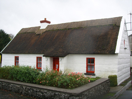 Lackagh Museum and Heritage Centrehouse · 1305 yd
 R.C. ChapelChurch · 1356 yd
 Enclosure in Knockdoebeg West,cnoc Tua MórEnclosure · 1635 yd
 European BeechEuropean Beech · 1.0 mi
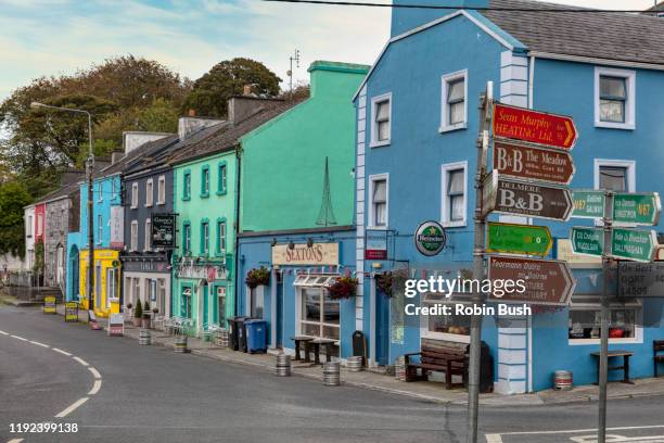 Cashlaunnagrantha in ruinsCastle, tower house · 2.2 mi
 Kiltroge Castle (in ruins)Castle, tower house · 2.6 mi
 Cregg Castle DemesneForest · 3.1 mi
 Ballinduff BayBay · 7.2 mi
 Kilcoona Round TowerHeritage attraction · 7.3 mi
 Oileán an BhreathnaighIslet · 8.3 mi
 Oileán an AoilIsland · 8.5 mi
Other information
Photo: Credit not shown in the picture search · Rights wording not checked; contact us if this picture should be removed