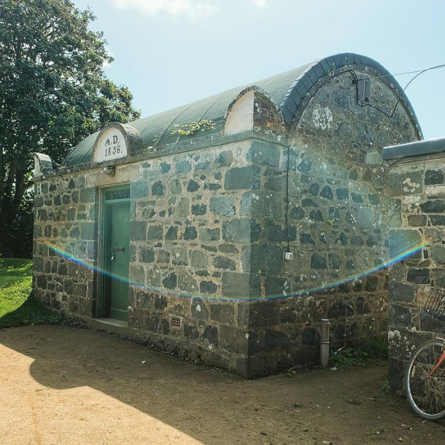
What is recorded here
In damp rushy pasture, encircled by high ground. An oval area (15.7m N-S; c. 23m E-W) enclosed by a poorly preserved bank (Wth 3.5-4.5m; H 0.3-0.4m) evident as a low, gapped rise marked by high grass and thistles. There is a break (Wth 5m) in the bank at SW. At N, a field drain on an E-W axis clips the bank. A band (Wth c. 2m) of rushes, probably indicating the line of an external fosse, is evident SE-NW, between the enclosure and a gentle natural rise in ground level. The enclosure is poorly preserved, engulfed in long grass and difficult to inspect. The surrounding area has recently been planted with coniferous trees but an exclusion zone (Wth 10-15m) has been left around the perimeter of the enclosure.
The above description is derived from the published 'Archaeological Inventory of County Sligo' compiled by Ursula Egan, Elizabeth Byrne, Mary Sleeman with Sheila Ronan and Connie Murphy (Dublin Stationery Office, 2005).
Date of upload: 18 January 2008
The monument record does not grant public access. Check the route and ask the landowner before entering private land.
- What survives
- Recorded monument
Places near here
 Cliff-edge fort in KnockbreenagherCliff-edge fort · 917 yd
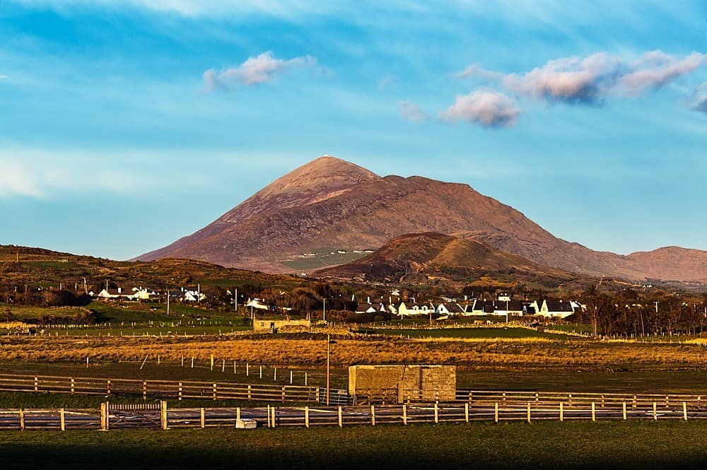 RathmulpatrickFairy fort / earthen ringfort · 977 yd
 Saint Columb's Catholic Churchchurch/chapel · 1134 yd
 Drumcolumb Church (in Ruins)Church · 1295 yd
 CastleCastle, motte and bailey · 1.7 mi
 Coola Castle (in Ruins)Bawn · 2.4 mi
 Riverstown Folk ParkHeritage attraction · 2.8 mi
 Barroe NorthMountain / peak · 3.2 mi
 Carrane HillCliff · 3.7 mi
 Geevagh Prisoners 1908 MemorialMemorial · 3.9 mi
 Annaghgowla IslandIslet · 4.0 mi
 InishmoreIslet · 4.2 mi
Other information
Photo: Credit not shown in the picture search · Rights wording not checked; contact us if this picture should be removed