What is recorded here
In tillage. Another enclosure (KK028-010----) is located c. 170m to the NNE. This enclosure is indicated on the 1st (1839) ed. OS 6-inch map as roughly circular and on the 1948-9 revision as oval and is visible as a cropmark an aerial photograph in 2001 (ASIAP (273) 27, 2 December 2001). On Google Earth satellite imagery (imagery date 9 August 2022) the cropmark of this oval enclosure (int. dims. c. 50m NNE-SSW; c. 40m ESE-WNW) is very clear, revealing it was defined by a wide fosse (Wth 4.5-5m) with an outer narrow fosse (Wth c. 1-1.5m) and, after a gap of c. 3m, another outer fosse (Wth c. 1-1.5m). The gap between the wide internal fosse and the narrow outer fosse is c. 6m on the E side, extending from c. 9-11m from S to N. There is also the suggestion of a third outer narrow fosse in the NE sector, also at a gap of c. 3m.
Compiled by: Jean Farrelly
The monument record does not grant public access. Check the route and ask the landowner before entering private land.
- What survives
- Recorded monument
Places near here
 Kilfane Rectoryfarmyard complex · 441 yd
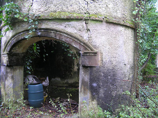 Summerhill Housedovecote/pigeon house/aviary · 619 yd
 Enclosure in Smithstown UpperEnclosure · 721 yd
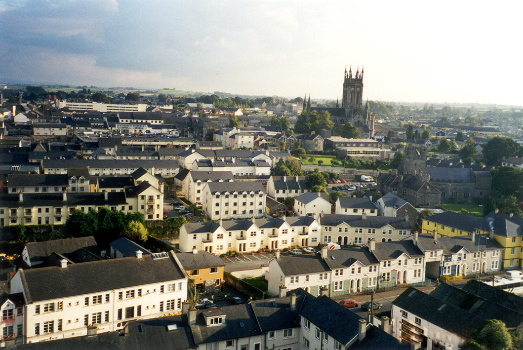 IndicatedEnclosure · 1052 yd
 Bawn in StroanBawn · 1277 yd
 Stroan FountainVisitor information · 1368 yd
 TowerCastle, tower house · 1446 yd
 Horse-chestnutHorse-chestnut · 1542 yd
 Red BogForest · 1.4 mi
 Kilbline GraveyardArchaeological place · 1.5 mi
 Tullaherin Church and Round TowerVisitor information · 1.7 mi
 John Patrick KennedyMemorial · 1.8 mi
Other information
Photo: Credit not shown in the picture search · Rights wording not checked; contact us if this picture should be removed