
What is recorded here
Knockanimana holds a square enclosure on a low Clare ridge, its earthen banks still marking a boundary that predates modern memory. Two ringforts watch from nearby, suggesting a settled landscape where people lived, argued, loved and vanished before records began. The shape resists easy explanation, but its persistence on open pasture invites wonder rather than certainty.
On top of a low NNE-SSW ridge in pasture. The remains of a possibly square enclosure (c. 37m NW-SE) defined by low earthen banks. Visible on Google Earth (Imagery date: 10 Feb 2021). Two ringforts lie c. 82m and 130m to the NE and NNE respectively.
Compiled by: Mary Tunney
Date of upload: 12 July 2023
The monument record does not grant public access. Check the route and ask the landowner before entering private land.
- What survives
- Recorded monument
Places near here
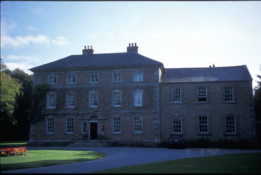 Carnelly Housecountry house · 552 yd
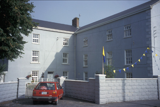 Clarecastle Barracksbarracks · 1089 yd
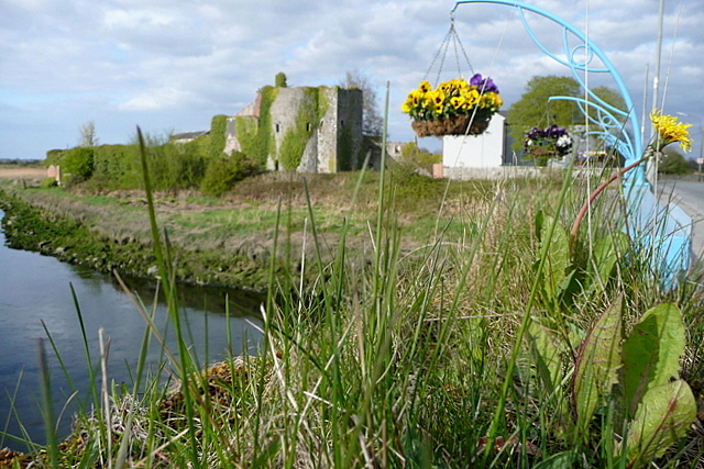 Clare CastleCastle · 1114 yd
 G.A.A. Commemorative StoneMemorial · 1324 yd
 Irish Famine MemorialMemorial · 1341 yd
 LissanFairy fort / stone ringfort · 1378 yd
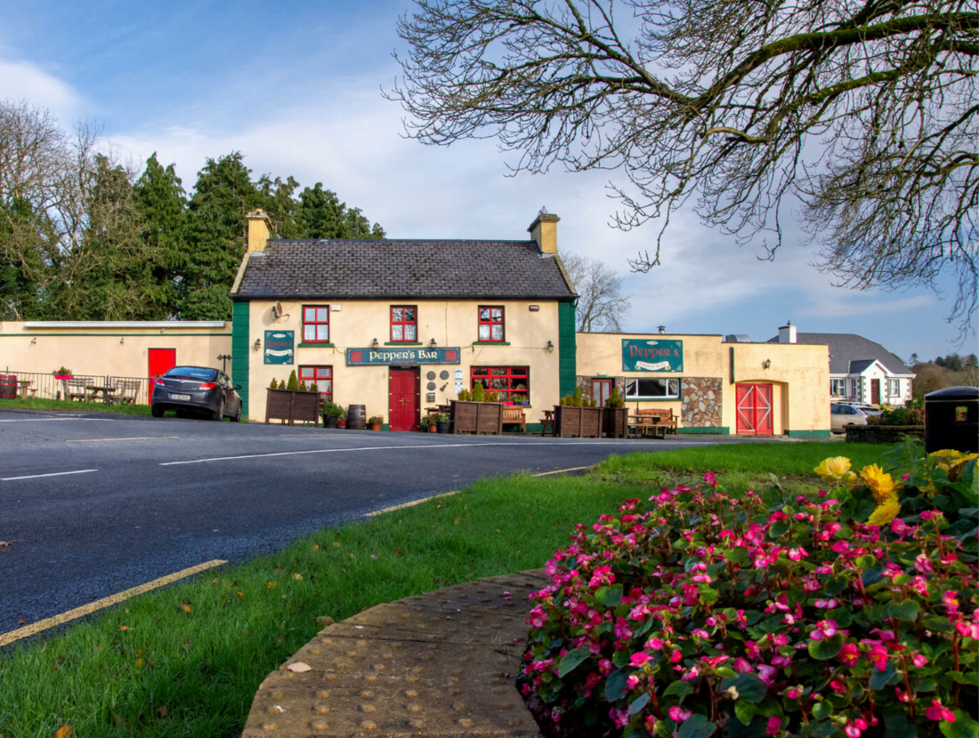 IndicatedFairy fort / earthen ringfort · 1.1 mi
 HawthornHawthorn · 1.8 mi
 Castlefergus or Ballyhannan(in Rns) 1922Castle, tower house · 1.9 mi
 Abbey WoodForest · 2.2 mi
 Killone AbbeyHeritage attraction · 2.2 mi
 Alice and Gwendoline CaveMuseum · 2.4 mi
Other information
Photo: Credit not shown in the picture search · Rights wording not checked; contact us if this picture should be removed