
What is recorded here
At the bottom of a gentle SE-facing slope. Rectangular grass-covered platform (dims 30m NE-SW; 16-25m NW-SE) defined by a scarp (H 0.2-0.6m) on all sides except the NW where it merges into a slope. At the W angle a well is represented by a cairn (diam. c. 4m), and some field banks are attached to the perimeter. It is locally regarded as the site of an O'Conor castle.
Compiled by: Michael Moore
Date of upload: 24 August 2010
The monument record does not grant public access. Check the route and ask the landowner before entering private land.
- What survives
- Recorded monument
Places near here
 Embanked enclosureFairy fort / earthen ringfort · 1576 yd
 Not inidcatedEnclosure · 1.1 mi
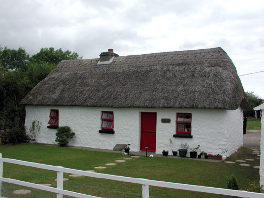 Dream Cottagehouse · 1.8 mi
 RoadRoad, road/trackway · 1.9 mi
 CastleCastle, Anglo-Norman masonry castle · 2.1 mi
 CastlerubyCastle, unclassified · 3.3 mi
 HawthornHawthorn · 4.3 mi
 Silver IslandIslet · 4.5 mi
 ToberagullaSpring · 4.8 mi
 European ashEuropean ash · 4.8 mi
 Workhouse MemorialMemorial · 5.0 mi
 Cruachan Aí Heritage CentreMuseum · 5.6 mi
Other information
Photo: Credit not shown in the picture search · Rights wording not checked; contact us if this picture should be removed