What is recorded here
Identified on aerial photograph (Bruff Survey: Map 40, Bruff 59: AP 5/2072). Described by Doody (2008, 138) as a 'subrectangular platform, 18m N-S x 26m E-W, 0.6m above the base of the ditch. Enclosed by ditch (c. 4m wide) with possible external bank on S side. Ditch less substantial on N'; the morphology of this enclosure indicates that it may be Bronze Age in date (ibid.).
Compiled by: Denis Power
Date of upload: 11 November 2013
See attached ASI aerial photographs ASIAP – 349175 on 05/01/2003.
The monument record does not grant public access. Check the route and ask the landowner before entering private land.
- What survives
- Recorded monument
Places near here
 BarrowBarrow, ditch barrow · 393 yd
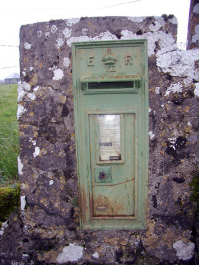 post boxpost box · 532 yd
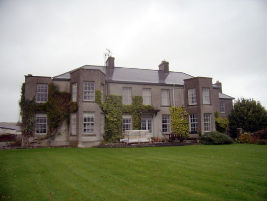 Knockainy Studcountry house · 665 yd
 Knockainy Castle (in ruins)Castle, tower house · 941 yd
 Grave YardBurial ground · 999 yd
 Desmond Castle (in ruins)Castle, unclassified · 1149 yd
 KnockainyMountain / peak · 1261 yd
 Flat cemetery in Knockainy WestFlat cemetery · 1.0 mi
 Glen BogForest · 1.9 mi
 St Patrick's WellSpring · 4.2 mi
 Kilteely HillMountain / peak · 4.8 mi
 Edmund's WellSpring · 5.0 mi