What is recorded here
A circular enclosure visible as a crop mark on an aerial photograph (SMR file; pers. comm. T. Condit). Ground slopes down to the road and sharply south of the site. Under crop. No visible remains.
Compiled by: David O’Connor
Updated by: Christine Baker
Date of upload: 28 January 2015
A local fairy fort (ringfort/rath); wider significance not recorded.
The monument record does not grant public access. Check the route and ask the landowner before entering private land.
- What survives
- Recorded monument
Places near here
 Catholic Church of Saint Nicholas of Myrachurch/chapel · 289 yd
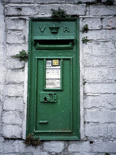 post boxpost box · 314 yd
 CastleCastle, unclassified · 998 yd
 Enclosure in KinsaleyEnclosure · 1099 yd
 Field system in KinsaleyField system · 1145 yd
 St Catherine's WellSpring · 1472 yd
 Malahide Castle Demesne Church (Ruin)Ruins · 1.3 mi
 Malahide DemesneVisitor information · 1.3 mi
 Black WoodWood · 1.5 mi
 Kinsealy CourtMemorial · 1.6 mi
 Strand Mill RuinsRuins · 1.6 mi
 Casino Model Railway MuseumMuseum · 1.8 mi