What is recorded here
In rough grazing/commonage, on the S-facing slopes of Kinknock Hill, just below the summit of the E shoulder of the hill. Circular area (diam. c. 15m) defined by a low bank (Wth on top 1m) of earth and stone. The bank has a maximum internal height of c. 0.4m at N but its external face is almost flush with exterior ground level. The interior has an uneven surface and is traversed by relict cultivation ridges which are also evident in the surrounding field. A later field bank skirts the S edge of the enclosure. There is another enclosure (MA086-019----) c. 140 downslope to S.
Compiled by: Jane O'Shaughnessy
Date of upload: 30 April 2014
The monument record does not grant public access. Check the route and ask the landowner before entering private land.
- What survives
- Recorded monument
Places near here
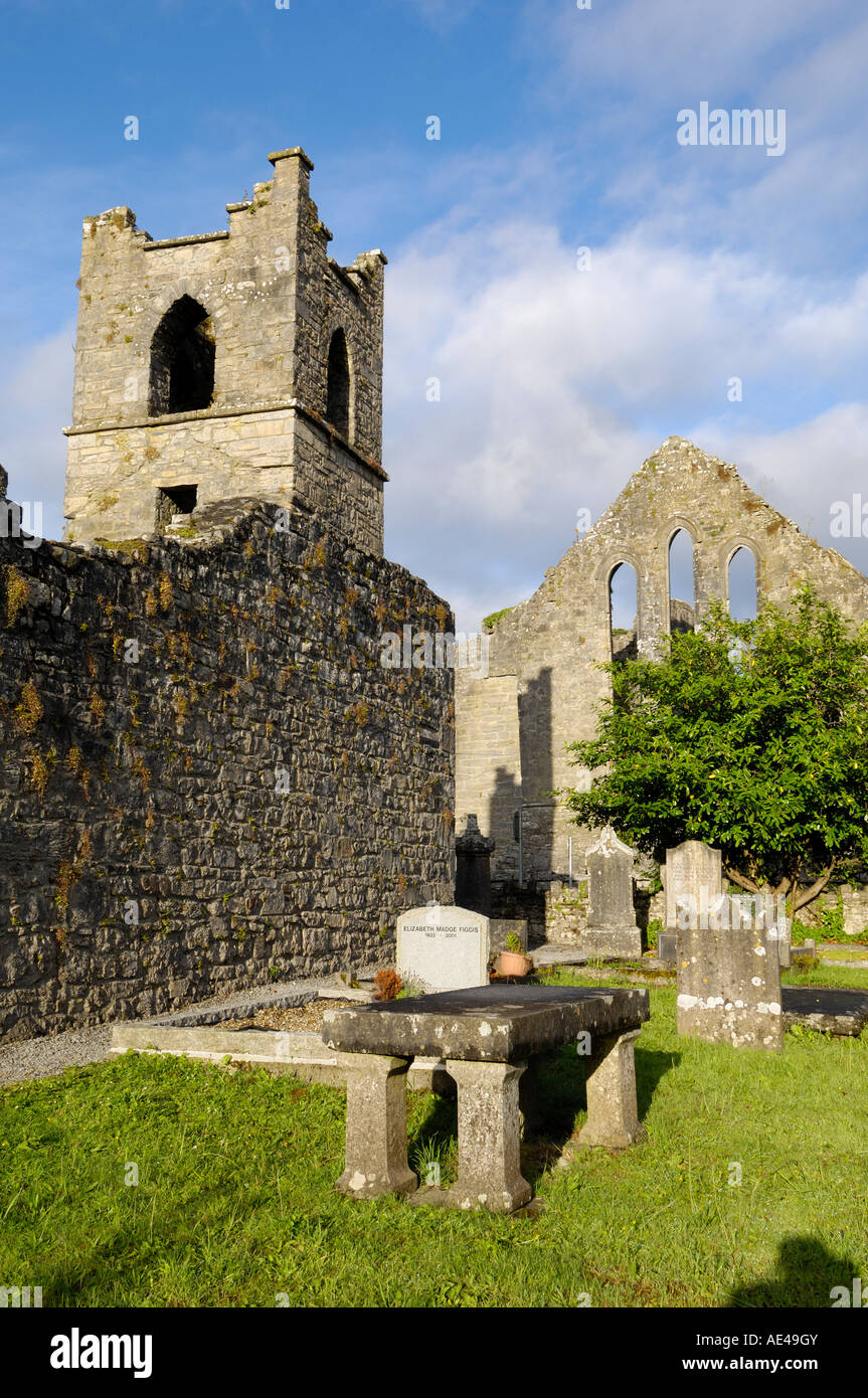 Enclosure in KinknockEnclosure · 173 yd
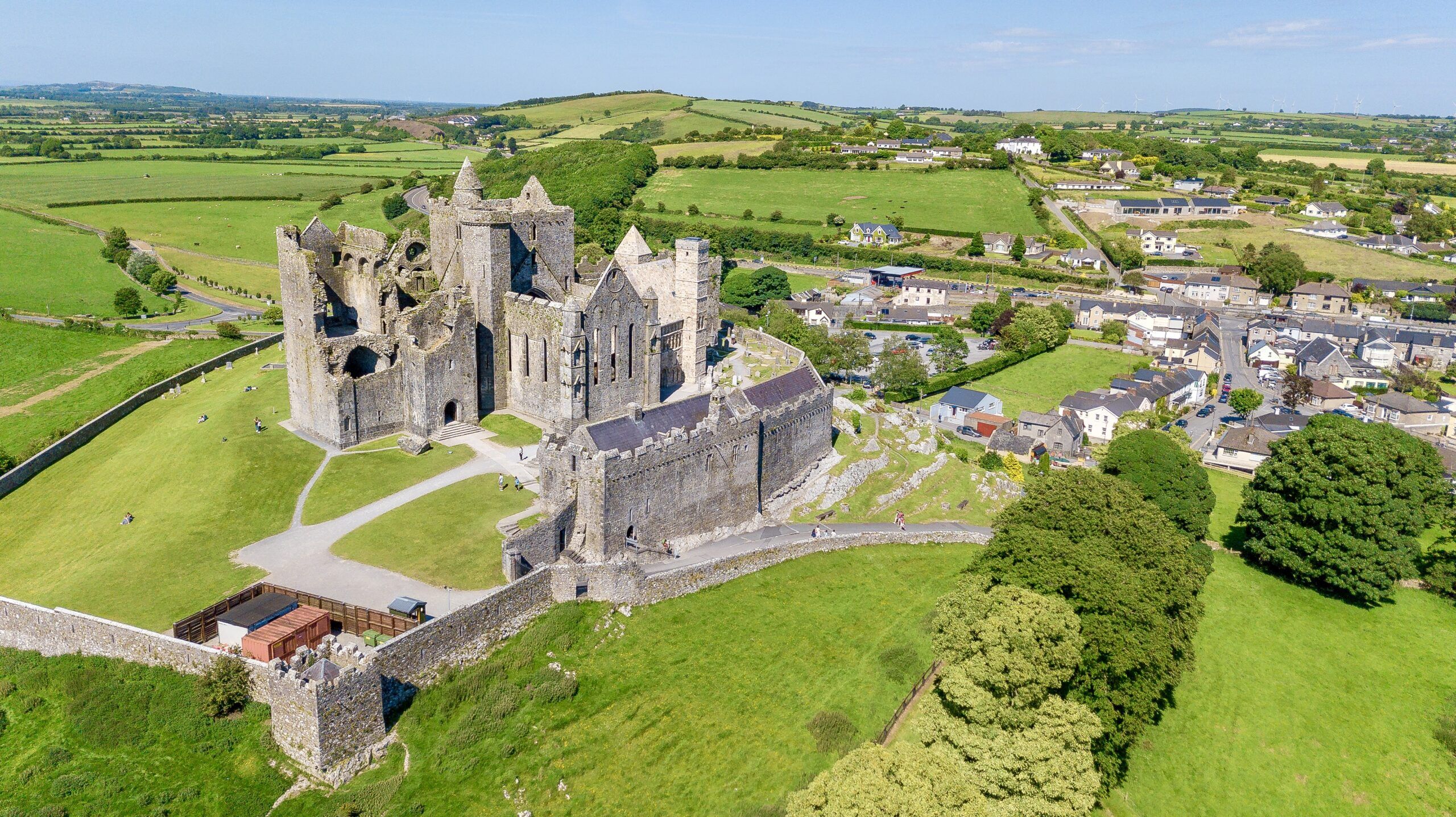 CashelFairy fort / stone ringfort · 1173 yd
 Old Head BeachBeach / strand · 1.1 mi
 Oldhead Quaypier/jetty · 1.5 mi
 Bellakip Bridgebridge · 1.5 mi
 Oldhead Wood Nature ReserveWood · 1.7 mi
 Black StrandBeach / strand · 2.0 mi
 Ben GoramMountain / peak · 2.5 mi
 O'Malley's CastleCastle · 3.3 mi
 Leaba PatrickMemorial · 3.6 mi
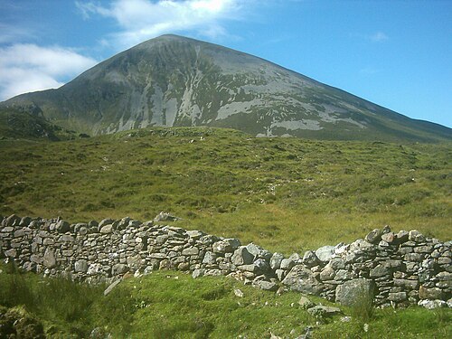 Croagh PatrickMountain / peak · 3.6 mi
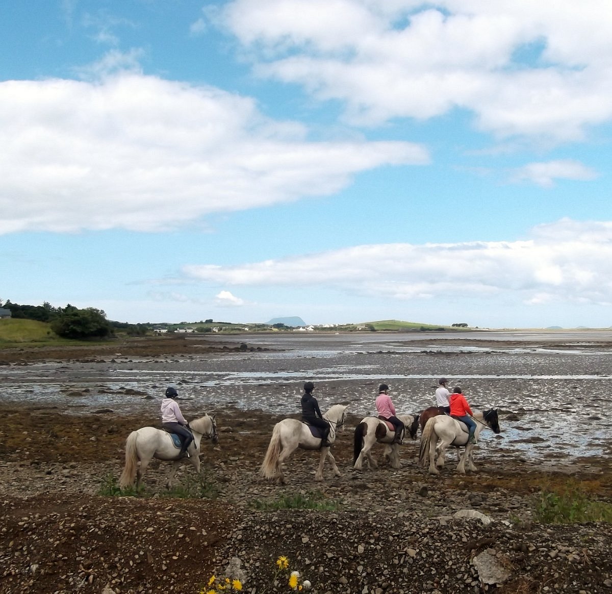 Croagh Patrick StablesHeritage attraction · 4.4 mi