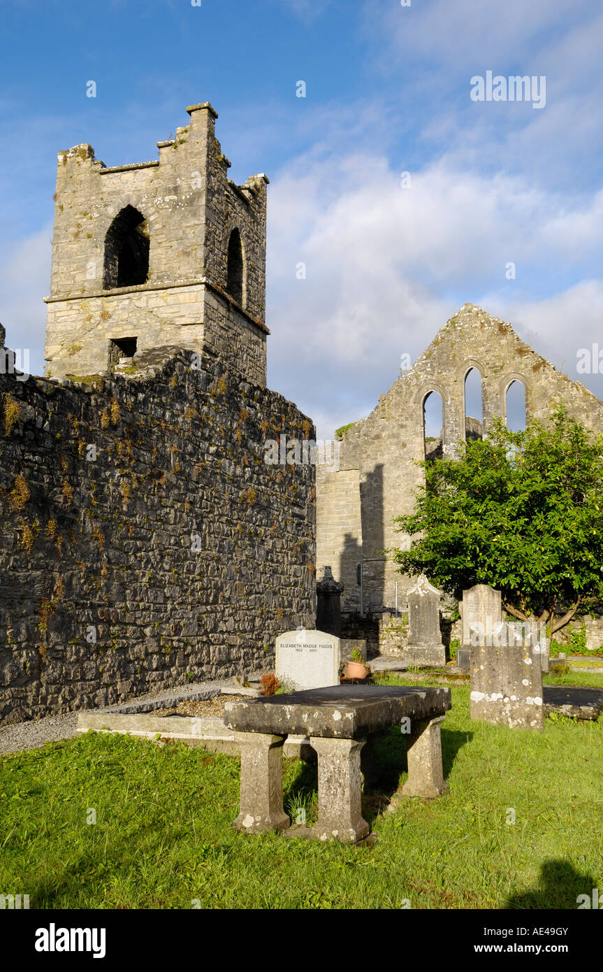
What is recorded here
In rough grazing, on the lower S-facing slopes of Kinknock Hill. Subcircular area (diam. c. 18m) defined by a low bank (Wth on top 1m; H c. 0.55m) of earth and stone. The interior has an uneven surface, with a slight rise in ground level evident in the W half, and a greater spread of stones visible at NE, both internally and externally of the bank. Relict cultivation ridges, on a roughly N-S axis, traverse the interior and the surrounding field. There is another enclosure (MA086-020----) c. 140 upslope to N.
Compiled by: Jane O'Shaughnessy
Date of upload: 30 April 2014
The monument record does not grant public access. Check the route and ask the landowner before entering private land.
- What survives
- Recorded monument
Places near here
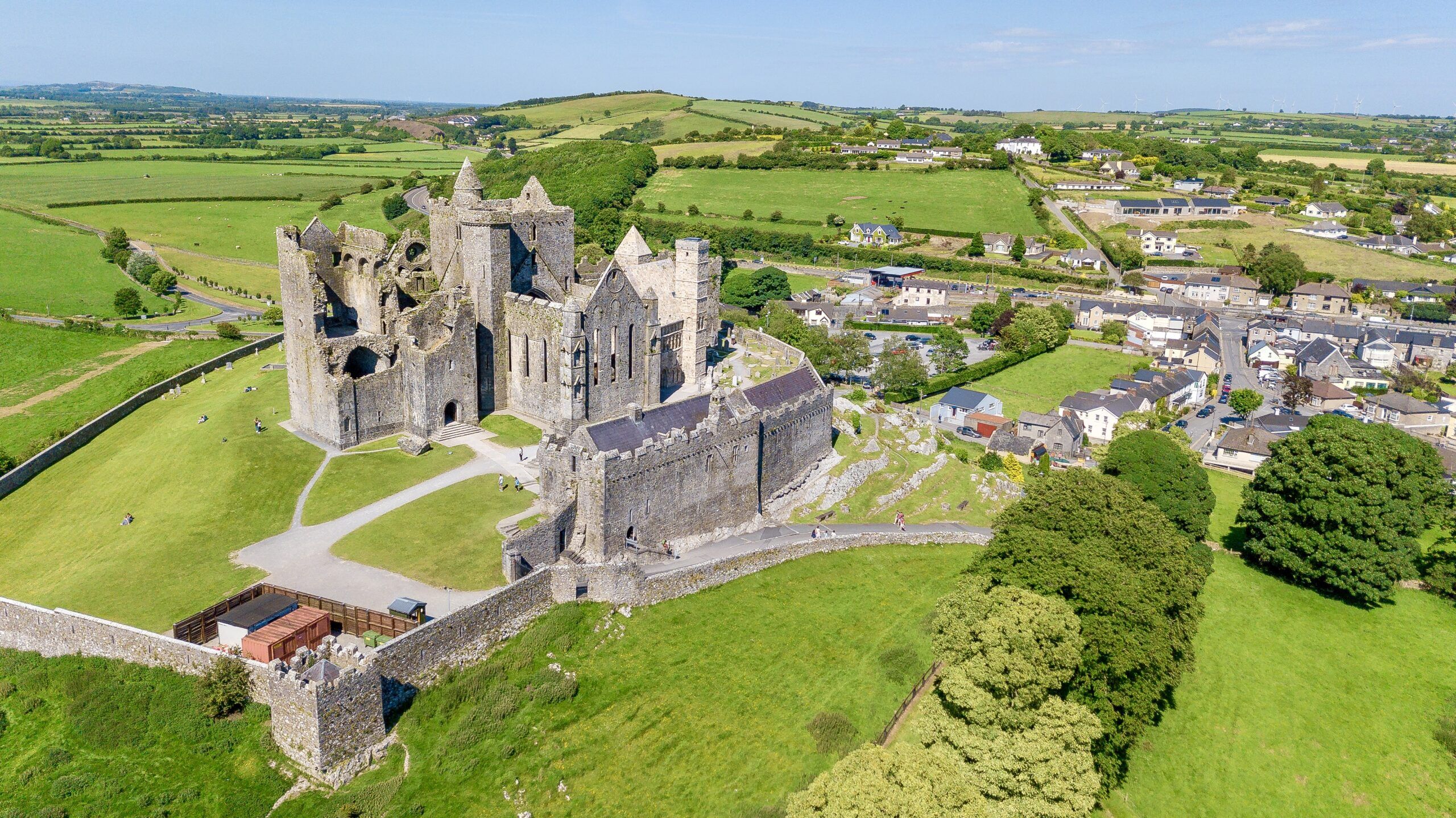 CashelFairy fort / stone ringfort · 1006 yd
 Grave Yd.Graveyard · 1263 yd
 Old Head BeachBeach / strand · 1.2 mi
 Bellakip Bridgebridge · 1.4 mi
 Oldhead Quaypier/jetty · 1.5 mi
 Oldhead Wood Nature ReserveWood · 1.7 mi
 Black StrandBeach / strand · 2.1 mi
 Ben GoramMountain / peak · 2.5 mi
 O'Malley's CastleCastle · 3.3 mi
 Leaba PatrickMemorial · 3.6 mi
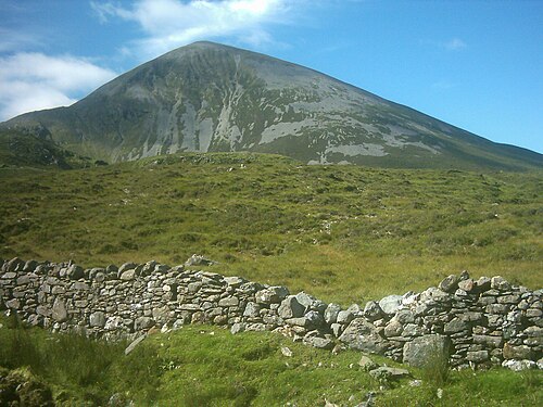 Croagh PatrickMountain / peak · 3.6 mi
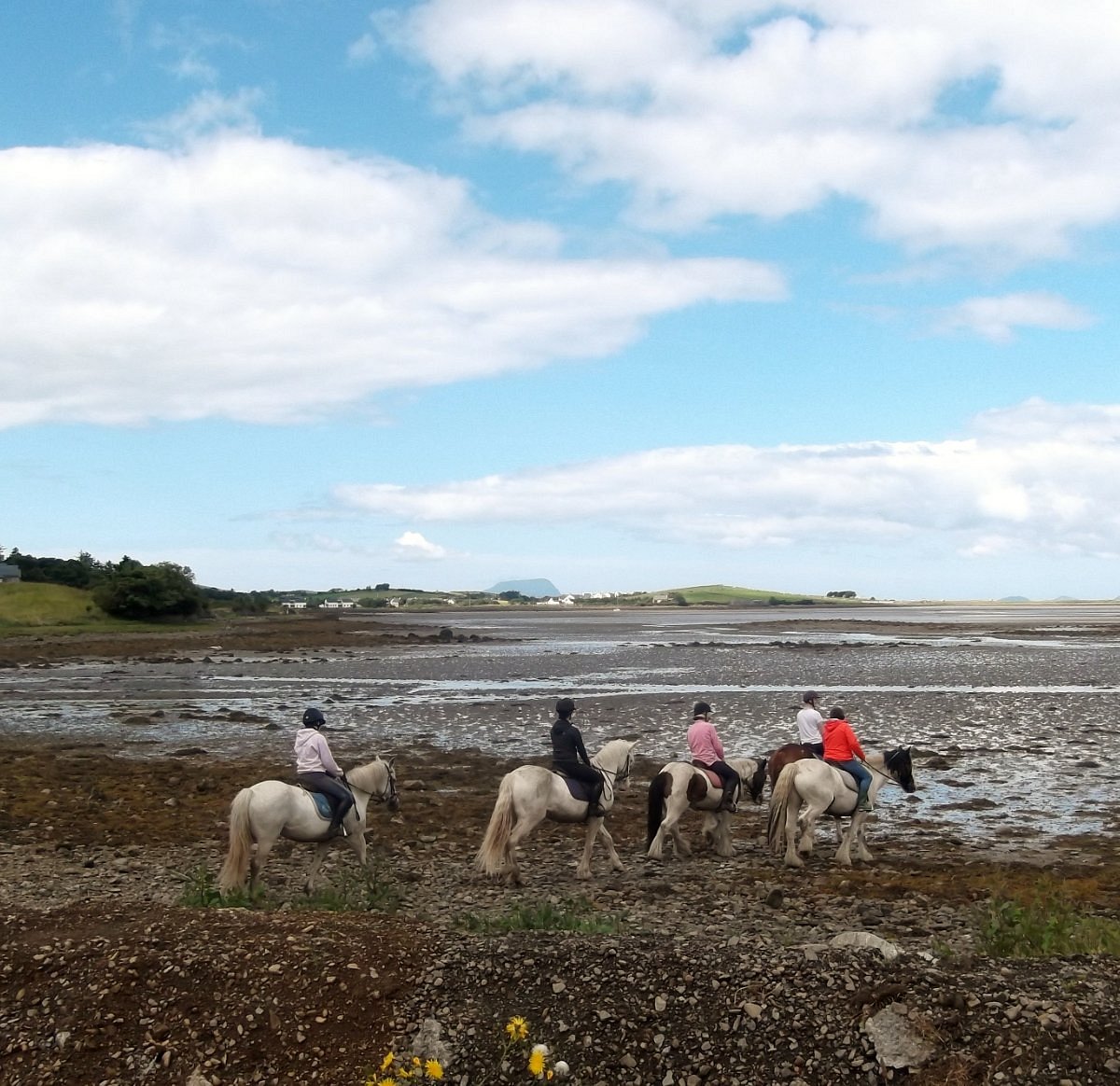 Croagh Patrick StablesHeritage attraction · 4.5 mi
Other information
Photo: Credit not shown in the picture search · Rights wording not checked; contact us if this picture should be removed