
What is recorded here
Kilvoydan in County Clare is a ruined enclosure where a later field wall cut through an older circular bank, leaving only a western D-shaped ridge of spoil and stone. The eastern half has vanished beneath pasture, but the surviving curve still marks the top of a gentle south-facing slope where human hands shaped the earth before forgetting or fury erased the rest.
Towards the top of a gentle S-facing slope. Listed as ‘Enclosure’ in the RMP (1996). Hachured as a circular ringfort (est. dia. c. 38m) on the first edition (1842) of the OS 6-inch map. However, by the time the later OS 25-inch plan (1897) was drawn, only a chord of enclosing bank (L c. 24m) from WSW-W-WNW was recorded, together with a later field boundary running N-S through the interior of the monument. When inspected in 1999, the E-portion of the monument (to the E of the later N-S boundary wall) was not clearly visible at ground level. However, the W portion (to the W of the later N-S wall) was traceable in undulating, rough pasture, where it survived as an uneven D-shaped raised area (17m N-S; 10m E-W) of spoil-like material (H 0.3-0.8m) containing hollows, defined from W-NW by a curvilinear bank-like feature (Wth 1.5m; int. H 0.2m; ext. H 0.3m) of earth and stone.
Compiled by: Gearóid Conroy and Conn Herriott
Date of upload: 29-10-2025
The monument record does not grant public access. Check the route and ask the landowner before entering private land.
- What survives
- Recorded monument
Places near here
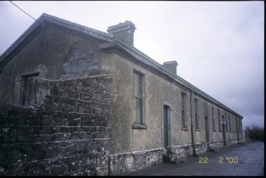 The Old Workhouseworkhouse · 255 yd
 CrossCross, Tau Cross (present location) · 324 yd
 Clare Heritage Centremausoleum · 346 yd
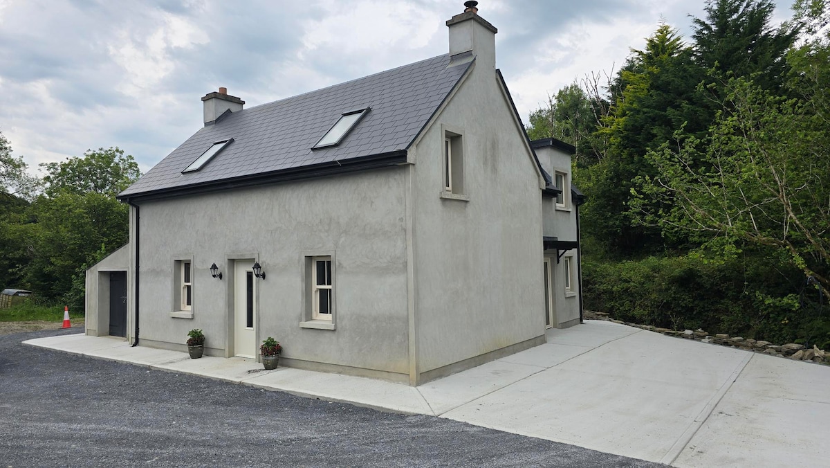 Enclosure in BaunkyleEnclosure · 1073 yd
 Ballyporty Castle (in ruins) / TowerCastle, tower house · 1.0 mi
 Rock IslandIsland · 1.0 mi
 Inchiquin IslandIslet · 1.1 mi
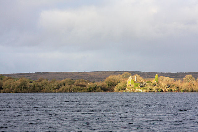 Inchiquin Castle (in ruins)Castle, tower house · 1.4 mi
 Battle of TullyodeaBattlefield · 2.1 mi
 Fergus River CaveCave · 3.1 mi
 Burren National ParkVisitor information · 3.5 mi
 Ballygriffy WoodWood · 3.7 mi
Other information
Photo: Credit not shown in the picture search · Rights wording not checked; contact us if this picture should be removed