
What is recorded here
Located on a fairly level landscape. The cropmark of a circular area (diam. c. 35m) defined by a single fosse is visible on Google Earth (21/07/2021). It is also faintly visible on OSi images (1995), and it was first reported by Jean Charles Caillére.
See the attached enhanced view from Google Earth (12/07/2021)
Compiled by: Michael Moore
Date of upload: 4 January 2022
The monument record does not grant public access. Check the route and ask the landowner before entering private land.
- What survives
- Recorded monument
Places near here
 Enclosure in Fleenstown GreatEnclosure · 1092 yd
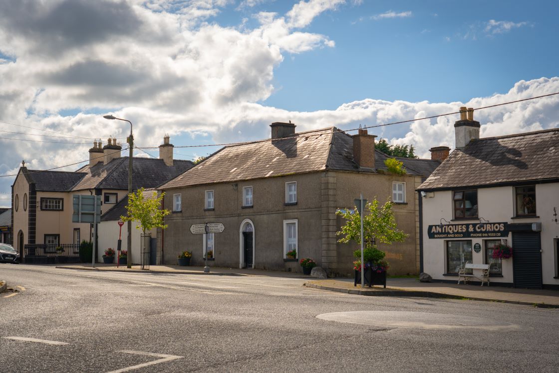 Muckerstown FortFairy fort / earthen ringfort · 1.2 mi
 Church (in Ruins)Church · 1.6 mi
 Kilbride MoatCastle, motte · 1.6 mi
 Wesley's WoodsWood · 1.9 mi
 AshbourneMemorial · 1.9 mi
 CastleCastle, motte · 2.0 mi
 Caulstown Christmas Tree FarmForest · 2.1 mi
 Ashbourne Parish Hallschool · 2.6 mi
 Wooly Ward's FarmHeritage attraction · 3.6 mi
 Cornstown HouseHeritage attraction · 3.8 mi
 Graveyard in BuzzardstownGraveyard · 4.6 mi
Other information
Photo: Credit not shown in the picture search · Rights wording not checked; contact us if this picture should be removed