
What is recorded here
On the NW slope of a low NE-SW ridge in pasture. A roughly rectangular enclosure (c. 30m NW-SE and c. 23m NE-SW) defined by a low bank and fosse. Visible on Digital Globe (2011-2013) and reported by Micheál MacGearailt in 2020. A small annexe (c. 7m x 5m) is attached near the S end of the W side and a straight fosse extends c. 55m to the NW from the NW corner. (Two ringforts (CL028-025---- and CL028-026----) are on top of the ridge 60m to the SE and 170m to the E respectively.
Compiled by: Mary Tunney
Date of upload: 26 November 2026
The monument record does not grant public access. Check the route and ask the landowner before entering private land.
- What survives
- Recorded monument
Places near here
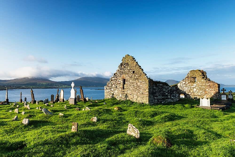 Kilnoe Church (Site of)Church · 575 yd
 Lisbarreen FortFairy fort / earthen ringfort · 1234 yd
 Ballynahinch Castle (in Ruins)Castle, unclassified · 1.2 mi
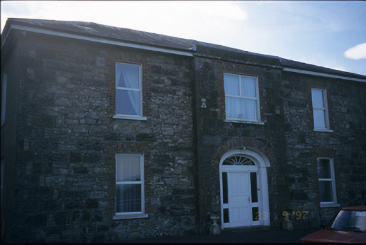 Fort Edwardhouse · 1.5 mi
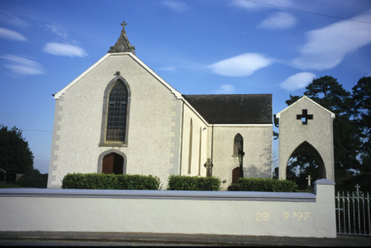 Catholic Church of Our Lady of the Assumptionchurch/chapel · 1.6 mi
 Coolreagh Castle (in Ruins)Castle, tower house · 1.8 mi
 Common LimeCommon Lime · 4.2 mi
 Tuamgraney Community WoodlandsWood · 4.4 mi
 DoonHeritage attraction · 5.0 mi
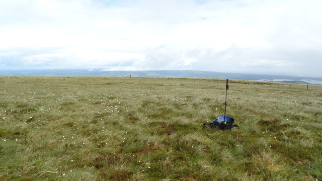 MoylussaMountain / peak · 5.8 mi
 MagheraMountain / peak · 6.9 mi
 Cloghleagh RockNamed rock · 7.3 mi
Other information
Photo: Credit not shown in the picture search · Rights wording not checked; contact us if this picture should be removed