
What is recorded here
Kilnagarbet is a large oval enclosure in County Cavan, Ireland, with a raised centre and faint boundary marks. Local people still call it a fort, and that name shapes how the land is imagined. The broken southern edge may have been its entrance, leaving the rest closed to casual entry.
Raised oval area (int. dims. 73m N-S; 67m E-W) enclosed by vague traces of a fosse, and a scarp with slight traces of an earthen bank on its upper edge. Modern trench replaces fosse from W-NW-N. Poorly defined break in bank at S may represent original entrance. Known in the locality as a 'fort'.
The above description is derived from the published 'Archaeological Inventory of County Cavan' (Dublin: Stationery Office, 1995). In certain instances the entries have been revised and updated in the light of recent research.
Date of upload/revision: 22 December 2008
The monument record does not grant public access. Check the route and ask the landowner before entering private land.
- What survives
- Recorded monument
Places near here
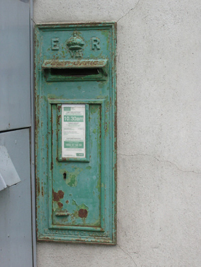 post boxpost box · 816 yd
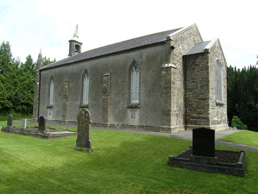 St Mark's Church of Ireland Churchchurch/chapel · 866 yd
 Foundation Stone Blessed by Pope John Paul II 1979Memorial · 965 yd
 IndicatedFairy fort / earthen ringfort · 1042 yd
 Giant's GraveArchaeological place · 1.3 mi
 Tullycoe FortArchaeological place · 1.3 mi
 Killymeehan ForestForest · 1.4 mi
 Cormeen Glebe ForestForest · 1.6 mi
 CarrickallenMountain / peak · 3.4 mi
 CliffernaMountain / peak · 3.4 mi
 Site of Old CastleCastle, unclassified · 4.5 mi
 Embanked enclosureBawn · 4.9 mi
Other information
Photo: Credit not shown in the picture search · Rights wording not checked; contact us if this picture should be removed