What is recorded here
In grass. A river runs roughly E-W c. 35m to the S and a stream runs NW-SW c. 50m to the W. A roughly circular enclosure (int. diam. c. 44m; overall diam. c. 64m) enclosed by a fosse. It is heavily overgrown with trees and scrub. The 1900 revision of the 6-inch OS map shows a field boundary running N-S along the inner edge of the enclosure from NE to SE.
Compiled by: Jean Farrelly
Date of upload: 31 March 2021
The monument record does not grant public access. Check the route and ask the landowner before entering private land.
- What survives
- Recorded monument
Places near here
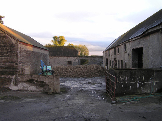 Mountrothe Housefarmyard complex · 219 yd
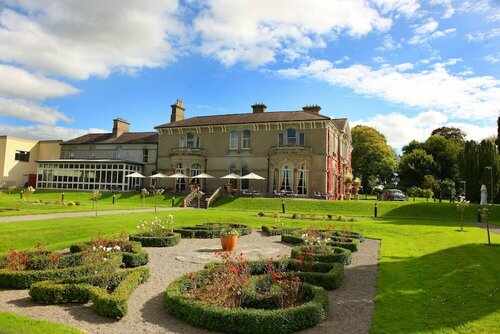 Enclosure in PaulstownEnclosure · 733 yd
 Church in KilmacahillChurch · 901 yd
 Enclosure in DuningaEnclosure · 1.1 mi
 The Green GardenWood · 1.3 mi
 Site of CastleCastle, unclassified · 1.9 mi
 Church (in ruins), GraveyardChurch · 2.6 mi
 Lord Galmoys Catle (in ruins)Castle, unclassified · 2.9 mi
 Lock Keeper's House and Lodge MillsVisitor information · 3.8 mi
 HawthornHawthorn · 4.0 mi
 St. Mogarra’s WellSpring · 4.7 mi
 Tullaherin Church and Round TowerVisitor information · 7.3 mi