What is recorded here
Visible on an aerial photograph (GSI N442-1) as the northernmost of three small, circular enclosures (est. diam. c. 20m); with a second enclosure (KD017-045001-) c. 150m to the SW and a third (KD017-045003-) c. 60m to the S. On level improved pasture with the surrounding field boundaries, as shown on the latest ed. (1910) of the OS 6-inch maps, removed by the landowner who remembers filling in a small pond in this area, but who had no knowledge of any monuments here. No visible surface trace survives.
Compiled by: Gearóid Conroy
Date of upload: 10 June 2011
The monument record does not grant public access. Check the route and ask the landowner before entering private land.
- What survives
- Recorded monument
Places near here
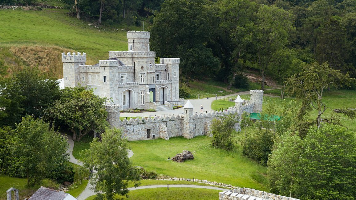 Enclosure in KillyguireEnclosure · 151 yd
 Killinthomas Wood (Rathangan)Wood · 1025 yd
 Ballydermot Turf Cutters Camp (ruin)Ruins · 1095 yd
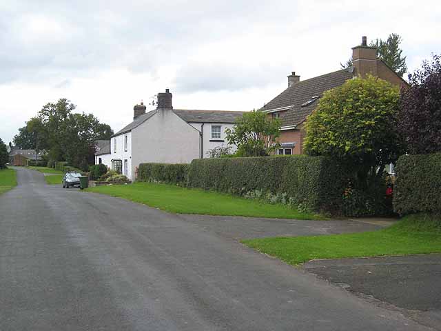 Enclosure in Newtown (killinthomas Ed)Enclosure · 1263 yd
 Catholic Church of the Assumption and Saint Patrickchurch/chapel · 1621 yd
 Bithia Mary CrokerMemorial · 1.1 mi
 Community OrchardNature reserve · 1.2 mi
 Site of CastleCastle, tower house · 1.3 mi
 Offaly CastleCastle, tower house · 2.2 mi
 The Fairy BowerHeritage attraction · 2.8 mi
 Lullymore Heritage ParkHeritage attraction · 2.9 mi
 Sli na Slainte - mapVisitor information · 4.3 mi
Other information
Photo: Credit not shown in the picture search · Rights wording not checked; contact us if this picture should be removed