
What is recorded here
On a flat terrace between the upper and lower slopes of a valley, in reclaimed grassland. There are good views in all directions, except to the NW where the land is rising. Identified on an aerial photograph (GSI roll 43, print 36) and also visible on ASI aerial photographs (ASIAP (174) 26-7, 3 March 2001) and Digitalglobe imagery (viewed 7 February 2018) as a circular cropmark (overall diam. c. 50m) with an inner and outer fosse. It is not visible at ground level.
Compiled by: Jean Farrelly
Date of upload: 7 February 2018
The monument record does not grant public access. Check the route and ask the landowner before entering private land.
- What survives
- Recorded monument
Places near here
 Enclosure in KilloshulanEnclosure · 337 yd
 TempleclashshibaunChurch · 1160 yd
 Killoshulan Castle (ruin)Castle · 1301 yd
 Enclosure in Clomantagh (mountgarret)Enclosure · 1301 yd
 Clomantagh HillMountain / peak · 1.3 mi
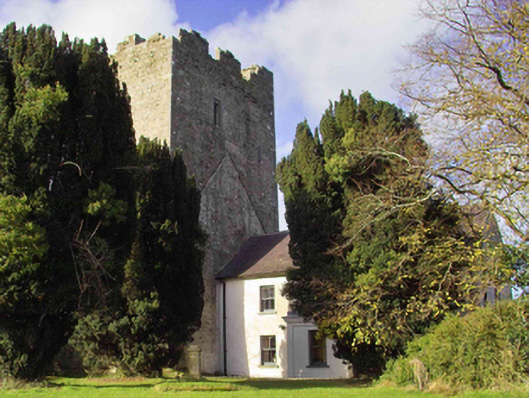 farm housefarm house · 1.3 mi
 Balleen Castle (ruins)Castle · 1.6 mi
 John HelyMemorial · 3.2 mi
 DelaneyMemorial · 3.2 mi
 Street fieldArchaeological place · 3.3 mi
 Kildrinagh WoodForest · 3.6 mi
 Anker's IslandIsland · 6.9 mi
Other information
Photo: Credit not shown in the picture search · Rights wording not checked; contact us if this picture should be removed