What is recorded here
Killinane holds a broken ring where the land itself drew the line. The incomplete curve suggests people shaped the earth, then left the edge open to memory. What is missing may be the point: a boundary half-made, waiting for someone to finish it with attention.
Aerial photograph (GB89.W.19) shows cropmark of a single ring-ditch with traces of an incomplete curvilinear (not concentric) enclosure. Close proximity to CW016-022----.
Reference:
Barrett, G.F. 'Early landscapes in County Carlow: an aerial perspective, in T. McGrath and T. O'Keefe (eds), County Carlow: History and Society, Geography Publications, Dublin. Forthcoming 2008.
Compiled by: Claire Breen
Date of upload: 19 August 2011
The monument record does not grant public access. Check the route and ask the landowner before entering private land.
- What survives
- Recorded monument
Places near here
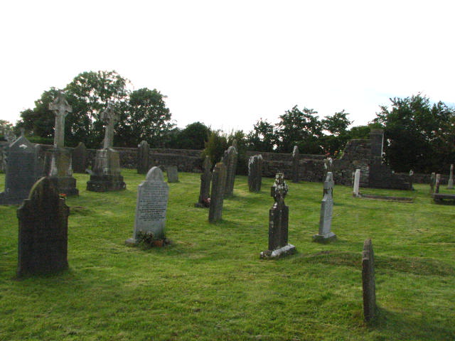 Enclosure in KillinaneEnclosure · 109 yd
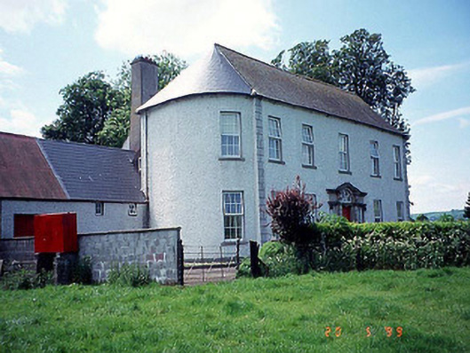 Killinane Househouse · 643 yd
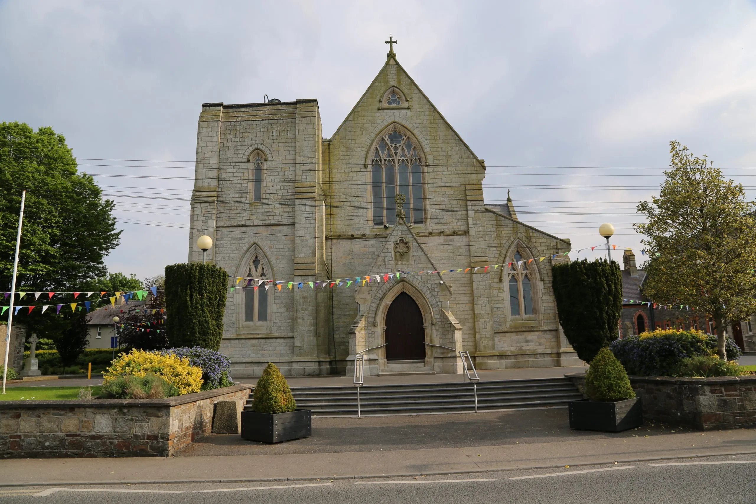 Killinane Church (in ruins)Church · 717 yd
 Enclosure in RathellinEnclosure · 1173 yd
 Lock Keeper's House and Lodge MillsVisitor information · 1496 yd
 The Columban WayVisitor information · 1.1 mi
 Church, GraveyardChurch · 1.3 mi
 Sweet ChestnutSweet Chestnut · 1.4 mi
 Black Castle (in ruins)Castle, tower house · 1.5 mi
 Dunleckny Ho.Castle, unclassified · 1.5 mi
 Church (in ruins), GraveyardChurch · 1.5 mi
 Wych ElmWych Elm · 2.3 mi