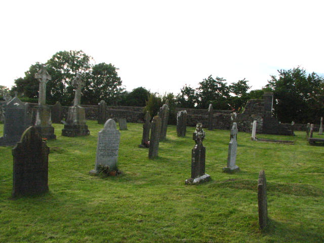
What is recorded here
Killinane holds an incomplete circular enclosure marked only by a shallow fosse and shadows in growing crops. The earth keeps its shape while human memory has thinned, suggesting people once drew a boundary around land they valued or feared to lose. That much is visible; the reason and ownership have faded into the soil.
Aerial photographs (GB89.W.20; (ASIAP (15) 3-5)) show cropmark of an incomplete sub-circular enclosure defined by a fosse.
Reference:
Barrett, G.F. 'Early landscapes in County Carlow: an aerial perspective, in T. McGrath and T. O'Keefe (eds), County Carlow: History and Society, Geography Publications, Dublin. Forthcoming 2008.
Compiled by: Claire Breen
Date of upload: 19 August 2011
The monument record does not grant public access. Check the route and ask the landowner before entering private land.
- What survives
- Recorded monument
Places near here
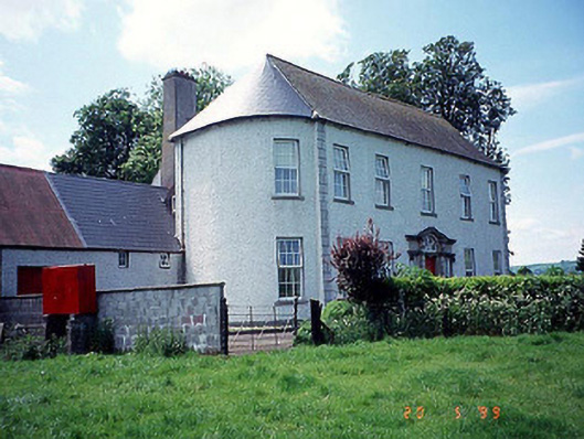 Killinane Househouse · 548 yd
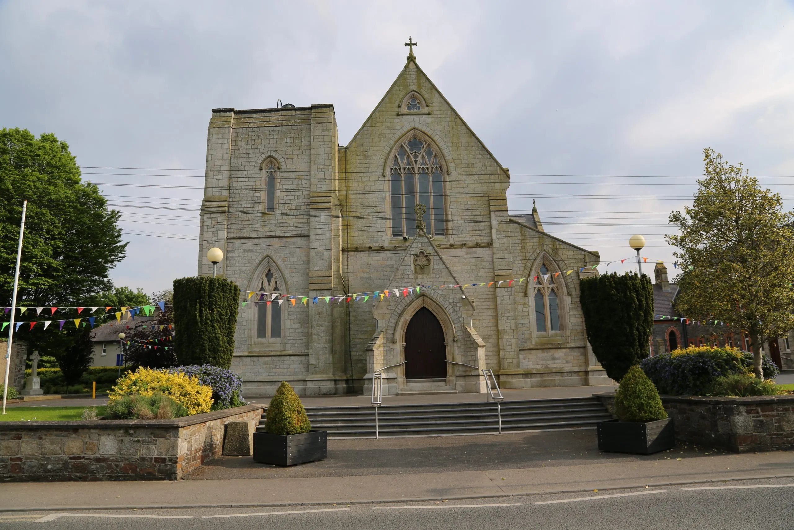 Killinane Church (in ruins)Church · 629 yd
 Enclosure in RathellinEnclosure · 1106 yd
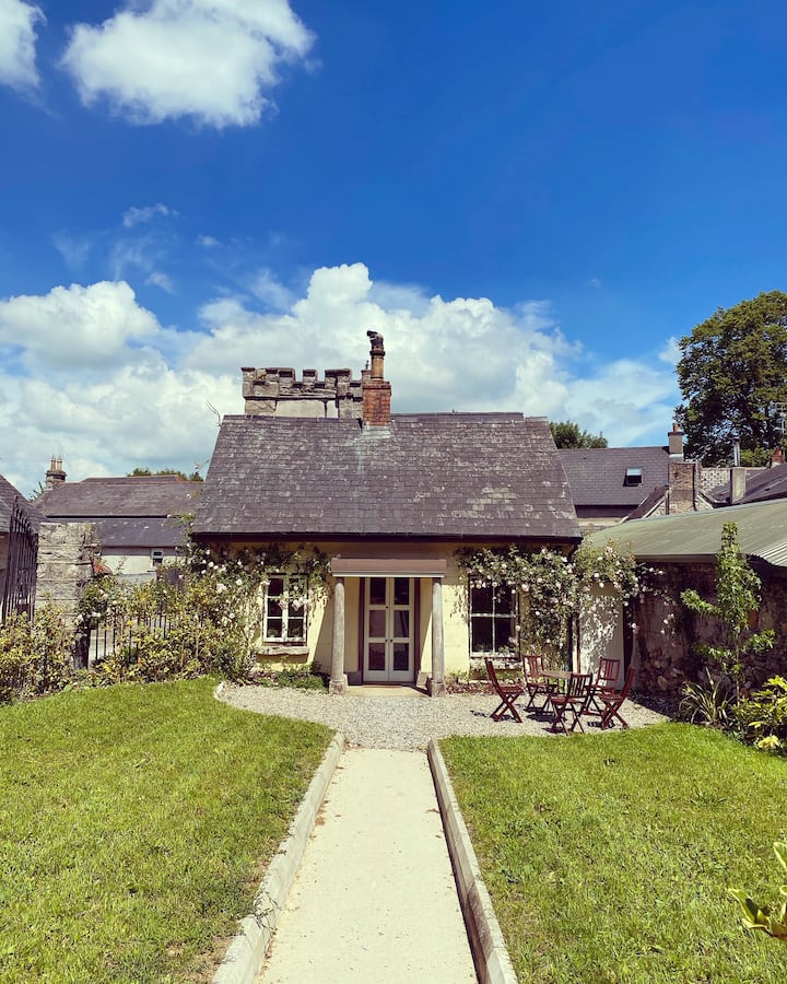 Enclosure in ClosuttonEnclosure · 1499 yd
 Lock Keeper's House and Lodge MillsVisitor information · 1602 yd
 The Columban WayVisitor information · 1.2 mi
 Church, GraveyardChurch · 1.2 mi
 Black Castle (in ruins)Castle, tower house · 1.4 mi
 Sweet ChestnutSweet Chestnut · 1.5 mi
 Dunleckny Ho.Castle, unclassified · 1.5 mi
 Church (in ruins), GraveyardChurch · 1.6 mi
 Wych ElmWych Elm · 2.3 mi
Other information
Photo: Credit not shown in the picture search · Rights wording not checked; contact us if this picture should be removed