What is recorded here
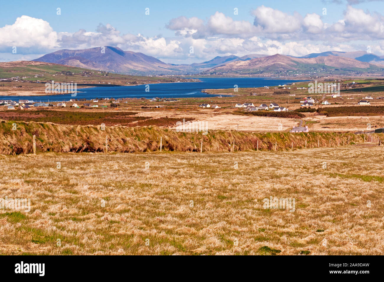
Killeenagh holds a broken circle and two smaller boxes on a south-facing slope above Castlemaine Harbour. The main cashel lost much of its shape after the early nineteenth century, while a vegetated enclosure and a rectangular basin wait beside the laneway. They are not grand, but they are exact: stone, soil, distance and direction still answer when measured.
Situated on a S facing slope overlooking Castlemaine Harbour, cashel KE045-077001- has been seriously interfered with and modified since the early 19th century when it was shown on the 1st edition of the OS map as a circular univallate enclosure.
About 100m to SW of the cashel is what appears to be a small enclosure, now covered with impenetrable vegetation. It measures c. 17.7m E-W and 15.3m N-S overall and is defined by a stony bank at least 2.6m wide and .55m high. In the NE corner of the same field is a roughly rectangular enclosure of unknown function and date. It is defined to N and E by the laneway and to W and S by low banks of earth and stone. It measures 14m N-S and 9.1m E-W internally and the bank is 1.4m wide and .55m high.
The above description is derived from J. Cuppage, ‘Corca Dhuibhne. Dingle Peninsula archaeological survey. Ballyferriter. Oidhreacht Chorca Dhuibhne’ (1986), no. 579. In certain instances the entries have been revised and updated in the light of recent research.
Date of upload: 7 August 2013
The monument record does not grant public access. Check the route and ask the landowner before entering private land.
- What survives
- Recorded monument
Places near here
 KilnKiln, corn-drying · 456 yd
 Church in LackChurch · 590 yd
 Hut site in CaherpierceHut site · 621 yd
 IndicatedHoly well · 1034 yd
 Cromane PointHeadland · 1.3 mi
 BeenduffMountain / peak · 1.3 mi
 KnockmoreMountain / peak · 1.4 mi
 Inch BeachBeach / strand · 2.9 mi
 Cromane BeachBeach / strand · 3.0 mi
 CastleCastle, unclassified · 3.9 mi
 Faisr's GraveArchaeological place · 4.1 mi
 Lough Yganavan Nature ReserveNature reserve · 4.4 mi