
What is recorded here
Enclosure in Killeen is a vanished rath in County Clare, mapped in 1840 and 1920 but largely erased by modern development. It stood between a road and the West Clare railway line, large enough for a house or workshop, yet no clear trace remains. The land has been taken, reused and forgotten, which is the ordinary fate of many small Irish landmarks.
In a level area in between a modern road at E and the disused West Clare railway line at W. Hachured as a rath on the 1840 and 1920 OS 6-inch maps. On inspection in 1999 it was noted that the area (diam. c. 30m N-S; c. 30m E-W) had a bank at SW (Wth 4m; H -.8m) but it appeared to be spoil from clearing and contained cement blocks. A house and garden lie immediately to the N. On Google Earth (25 April 2021) it is evident that the area was cleared completely c. 2021 and a bank is evident from E to SW which may be part of the original perimeter.
Compiled by: Mary Tunney
Date of upload: 19 November 2025
The monument record does not grant public access. Check the route and ask the landowner before entering private land.
- What survives
- Recorded monument
Places near here
 Bawn in CregmoherBawn · 863 yd
 Kylemore Fort / Infants Burial GroundHilltop enclosure · 1220 yd
 Enclosure in CahercorcaunEnclosure · 1400 yd
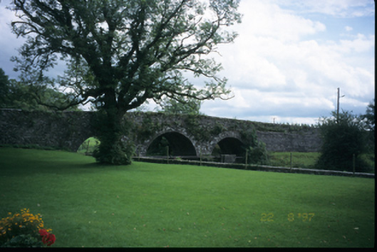 Corrofin Bridgebridge · 1534 yd
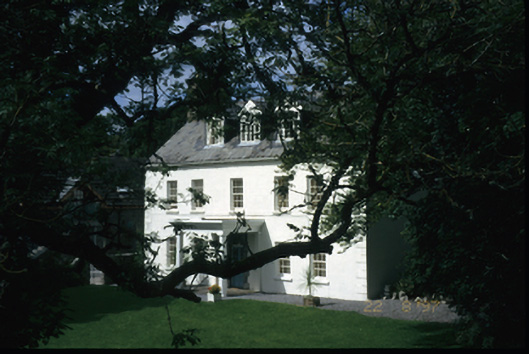 Richmond Househouse · 1578 yd
 Castle (in Ruins)Castle, tower house · 1651 yd
 Rock IslandIsland · 1.7 mi
 Inchiquin IslandIslet · 1.8 mi
 Battle of TullyodeaBattlefield · 2.1 mi
 Ballygriffy WoodWood · 3.0 mi
 Fergus River CaveCave · 3.8 mi
 Dromore WoodWood · 4.0 mi
Other information
Photo: Credit not shown in the picture search · Rights wording not checked; contact us if this picture should be removed