What is recorded here
On a low E-W ridge on a N-facing slope on low lying terrain on valley floor with Lady's Abbey visible to the NW. The enclosure is not visible at ground level. A curving field boundary follows the outline of the SW quadrant of the monument. There is a slight dip in the NW quadrant which may indicate a former fosse, otherwise there is no visible trace of one. The field boundary to the W has been removed. It is marked on both editions of the O.S as an enclosure (diam. c. 29m N-S; c. 36m E-W) truncated by a field boundary to the E and S. On the 25-inch OS map an outer bank, with an intervening fosse, is also depicted running from NW-NE, with a gap in the NNE.
Compiled by: Jean Farrelly
Date of upload: 28 November 2013
This remains an important historical record, but the official description says the monument is no longer visible or has been destroyed. The monument record does not grant public access. Check the route and ask the landowner before entering private land.
- What survives
- No visible remains or recorded as destroyed
Places near here
 Font (present location) in Garryduff (ballybacon Par.)Font (present location) · 406 yd
 Font in Raheen (ballybacon Par.)Font · 533 yd
 Ladys Abbey (in ruins)Religious house, Carmelite friars · 977 yd
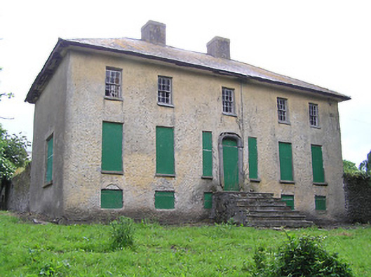 Lacken Househouse · 1547 yd
 Site of Clocully CastleCastle, unclassified · 1.7 mi
 Ballydrinan CastleCastle, tower house · 2.1 mi
 Kildanogue wildfowl sanctuary and nature reserveNature reserve · 2.1 mi
 Woodcock HillMountain / peak · 2.3 mi
 Roche's HillMountain / peak · 3.1 mi
 The VeeViewpoint · 3.4 mi
 Bohernagore WoodForest · 3.4 mi
 Grubb’s GraveMemorial · 3.5 mi