What is recorded here
Kilgevrin holds a faint rectangular shadow on a Galway hill, beside an older ringfort. Earth, scarped stone and field banks still mark its edges, though rain and time have blurred the purpose. Perhaps people kept livestock, prayed, or simply drew a line around the land they loved. The enclosure no longer speaks loudly, but it still shapes the hill where human hands first tried to make the world orderly.
On the summit of a hillock, 80m SE of a ringfort (GA016-071----). Poorly preserved subrectangular enclosure (E-W 58m, N-S 30m) defined on E and S sides by an earthen bank, and by a scarp along N side. A field bank delimits W side. Possibly a landscape feature.
The above description is derived from the published 'Archaeological Inventory of County Galway Vol. II - North Galway'. Compiled by Olive Alcock, Kathy de hÓra and Paul Gosling (Dublin: Stationery Office, 1999).
Date of upload: 05 August 2010
The monument record does not grant public access. Check the route and ask the landowner before entering private land.
- What survives
- Recorded monument
Places near here
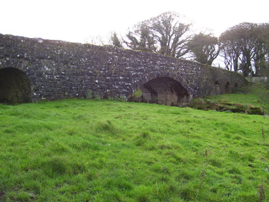 Liskeevy Bridgebridge · 146 yd
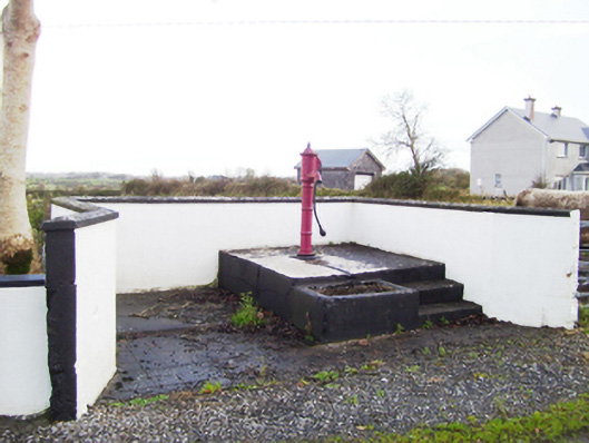 water pumpwater pump · 1180 yd
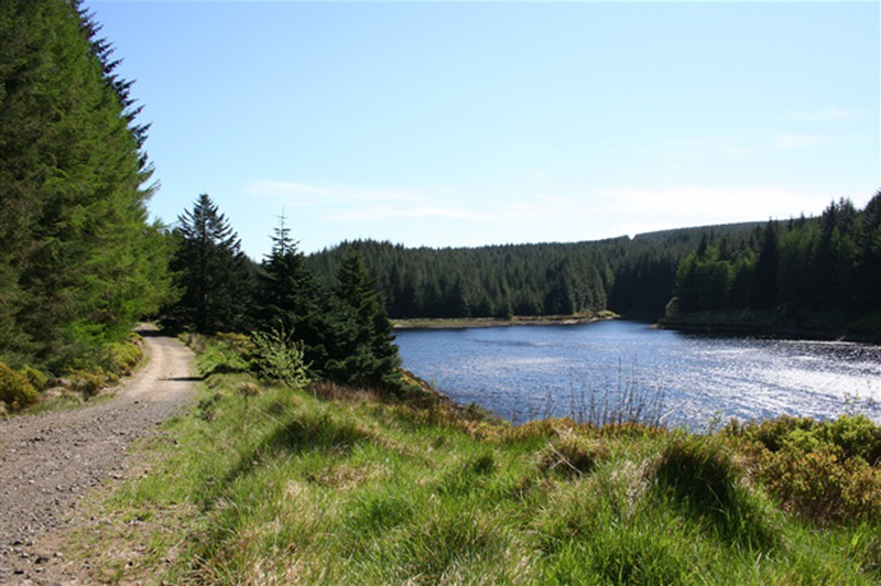 Structure in BanagherStructure · 1356 yd
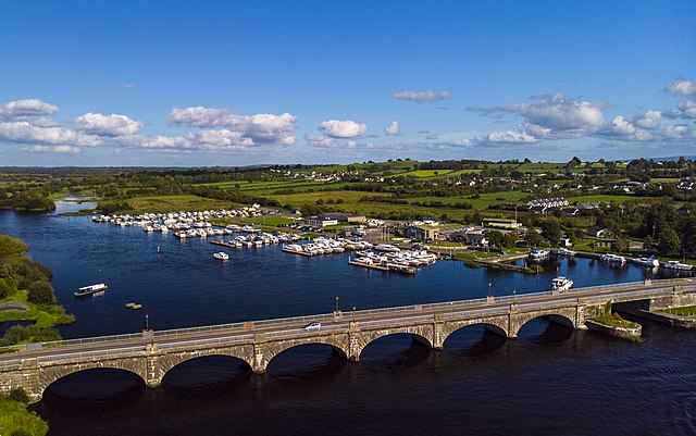 Banagher FortFairy fort / earthen ringfort · 1529 yd
 Fartamore Castle (ruins)Castle · 1.6 mi
 Fartamore Castle in ruinsCastle, tower house · 1.6 mi
 European ashEuropean ash · 4.2 mi
 Mass RockNamed rock · 5.0 mi
 KnockmaaWood · 8.4 mi
 Ross Errilly FriaryHeritage attraction · 12 mi
 Otter IslandIslet · 15 mi
 Inis Mhic an TrírIsland · 15 mi