What is recorded here
In improved pasture, on the N side of a low rise. The remains of an oval area (dims. c. 24m N-S; c. 30m E-W) defined by low scarp (Wth 5.25m; H 0.4m) W-N-E and levelled from E-S-W where the monument was probably cut into the NE-facing hillslope. The interior is uneven. It is depicted on the 1st (1840) and 1904 ed. OS 6-inch map as one of a pair of circular enclosures (diam. c. 40m) and clearly visible on aerial photographs taken in 1969 and 1974 (CUCAP AYO 47, 10-07-1969; GSI R. 436/6, 16-04-1974). The monument has been completely levelled. The enclosing fosse is visible as a crop mark on a later aerial photographs (ASIAP (34)10, 12, 13, 03/08/1996; ASIAP (302) 30, 33, 13-09-2002). There is another enclosure (TS059-121002-) c. 10m to the SSE. The field boundary which ran E-W c. 15m to the N has been removed.
Compiled by: Jean Farrelly
Date of upload: 17 October 2013
This remains an important historical record, but the official description says the monument is no longer visible or has been destroyed. The monument record does not grant public access. Check the route and ask the landowner before entering private land.
- What survives
- No visible remains or recorded as destroyed
Places near here
 Kilfeakle Castle (in ruins)Castle, tower house · 654 yd
 Enclosure in Kilfeakle ChurchquarterEnclosure · 900 yd
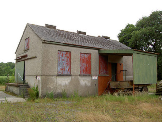 Grantstown Creamerycreamery · 1047 yd
 Site of Kilfeakle ChurchChurch · 1052 yd
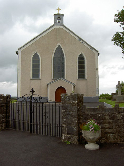 Saint Patrick's Catholic Churchchurch/chapel · 1170 yd
 MoatCastle, motte and bailey · 1223 yd
 European ashEuropean ash · 1.4 mi
 I.R.A. 3rd. Tipperary Brigade MemorialMemorial · 3.2 mi
 It's a long way to TippereryHeritage attraction · 3.9 mi
 Bansha ForestForest · 3.9 mi
 Soloheadbeg Ambush SiteMemorial · 4.0 mi
 Soloheadbeg Ambushambush · 4.1 mi