What is recorded here
In improved pasture, on a low rise. The remains of an oval area (dims. c. 20m N-S; c. 24m E-W) defined by traceable remains of low scarp (Wth 7.75m; H 0.7m) ESE-W-ENE and completely levelled out ENE-ESE. The interior has a SW-facing slope. It is depicted on the 1st (1840) and 1904 ed. OS 6-inch map as one of a pair of circular enclosures (diam. c. 40m) and clearly visible on aerial photographs taken in 1969 and 1974 (CUCAP AYO 47, 10-07-1969; GSI R. 436/6, 16-04-1974). The monument has been completely levelled. The enclosing fosse is visible as a crop mark on a later aerial photographs (ASIAP (34)10, 12, 13, 03/08/1996; ASIAP (302) 34, 36, 13-09-2002). There is another enclosure (TS059-121001-) c. 10m to NNW, on a slightly higher elevation. There are the remains of an old field boundary (long axis E-W) which has been reduced to scarp across the field, c. 14m to the S.
Compiled by: Jean Farrelly
Date of upload: 17 October 2013
The monument record does not grant public access. Check the route and ask the landowner before entering private land.
- What survives
- Recorded monument
Places near here
 Kilfeakle Castle (in ruins)Castle, tower house · 680 yd
 Enclosure in Kilfeakle ChurchquarterEnclosure · 886 yd
 Site of Kilfeakle ChurchChurch · 998 yd
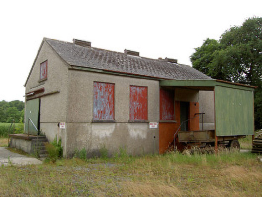 Grantstown Creamerycreamery · 1096 yd
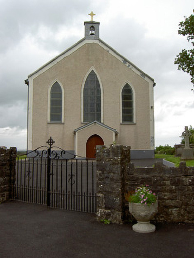 Saint Patrick's Catholic Churchchurch/chapel · 1117 yd
 MoatCastle, motte and bailey · 1168 yd
 European ashEuropean ash · 1.4 mi
 I.R.A. 3rd. Tipperary Brigade MemorialMemorial · 3.2 mi
 Bansha ForestForest · 3.9 mi
 It's a long way to TippereryHeritage attraction · 3.9 mi
 Soloheadbeg Ambush SiteMemorial · 4.0 mi
 Soloheadbeg Ambushambush · 4.1 mi