What is recorded here
Cropmark (GSIAP, W252) shows W arc of possible circular enclosure, truncated by farm to S (diam. c. 40-50m)
The above description is derived from the published 'Archaeological Inventory of County Cork. Volume 2: East and South Cork' (Dublin: Stationery Office, 1994). In certain instances the entries have been revised and updated in the light of recent research.
Date of upload/revision: 14 January 2009
The monument record does not grant public access. Check the route and ask the landowner before entering private land.
- What survives
- Recorded monument
Places near here
 SunvilleCountry house · 1015 yd
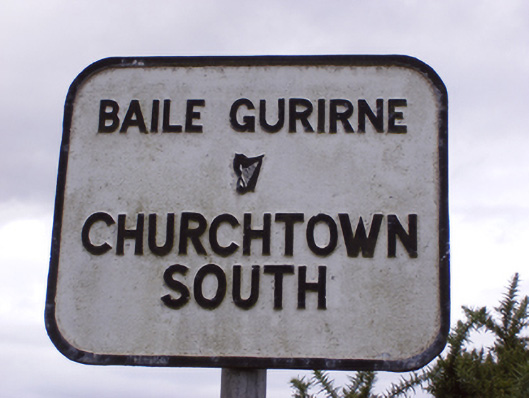 sign postsign post · 1155 yd
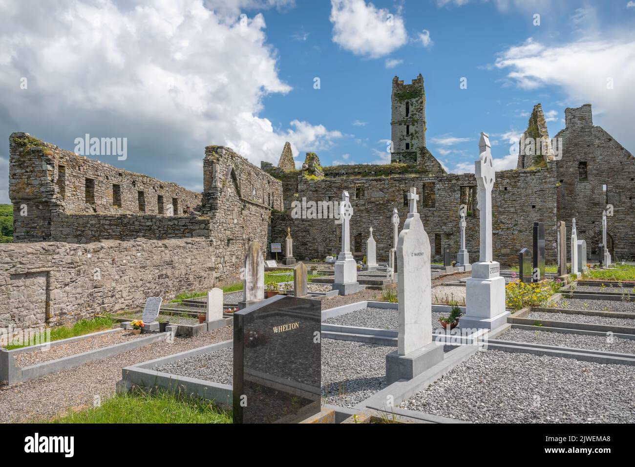 Grave Yard (Site of)Burial ground · 1255 yd
 Grave YdGraveyard · 1353 yd
 CastleCastle, tower house · 2.4 mi
 Ballycroneen BeachBeach / strand · 2.5 mi
 Mary StandfordMemorial · 2.6 mi
 P.N.L.B. Mary StandfordWreck · 2.7 mi
 Ballybrannigan BeachBeach / strand · 3.1 mi
 Ballycotton Island (Small)Islet · 3.1 mi
 Anchor The SagaMemorial · 3.4 mi
 Ballycotton IslandIslet · 3.6 mi