
What is recorded here
The meandering Finisk River flows roughly NE-SW c. 70m to the W-NW, in tillage. A curvilinear enclosure (diam. c. 30m), defined by a fosse which is visible as a cropmark on satellite imagery (Apple Maps), identified and reported by Jean-Charles Caillère.
See attached imagery:
WA030-093----_01 Apple Maps satellite imagery
Compiled by: Jean Farrelly
Date of upload: 3 July 2023
The monument record does not grant public access. Check the route and ask the landowner before entering private land.
- What survives
- Recorded monument
Places near here
 Site of Church & Grave Yd.Church · 499 yd
 Historic buildingOfficially recorded historic building · 811 yd
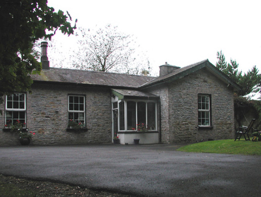 Cappagh Railway Stationrailway station · 913 yd
 Fulacht FiaidhFulacht fia · 1177 yd
 Abbey (in ruins)Castle, tower house · 1344 yd
 Black HillMountain / peak · 1.2 mi
 Kilgreany CaveCave · 1.8 mi
 site of CastleCastle, unclassified · 2.5 mi
 Coillte infoboardVisitor information · 3.5 mi
 Master McGrathMemorial · 3.5 mi
 Battle of AffaneMajor battlefield · 3.7 mi
Other information
Photo: Credit not shown in the picture search · Rights wording not checked; contact us if this picture should be removed