What is recorded here
Depicted as a small circular enclosure on 1st edition OS map (1842), not depicted on subsequent map editions. Visible on as a circular cropmark on Google Earth imagery accessed 23/06/2018. Reported by Edward O'Riordan.
Compiled by: Matt Kelleher
Date of upload/revision: 28 January 2019
The monument record does not grant public access. Check the route and ask the landowner before entering private land.
- What survives
- Recorded monument
Places near here
 Fulacht FianFulacht fia · 654 yd
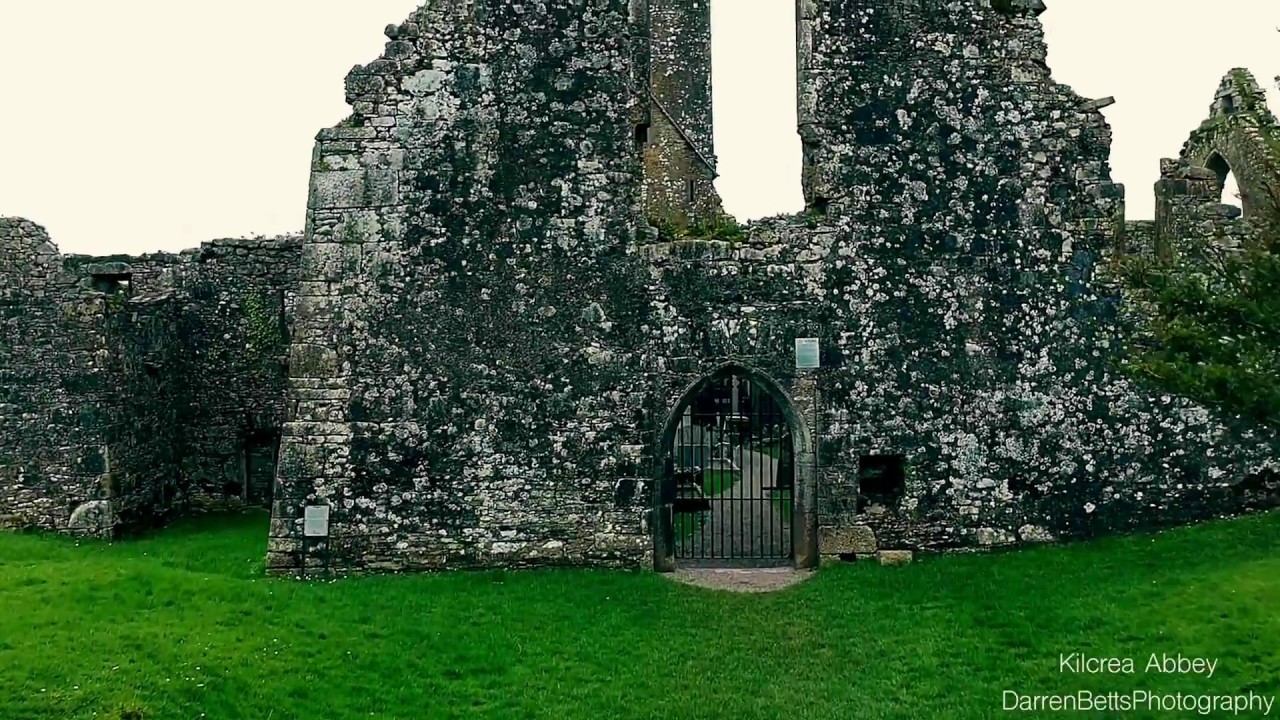 Kilbrenan Abbey (in Ruins)Religious house, unclassified · 1021 yd
 Fulacht FiadhFulacht fia · 1366 yd
 St Martin's Church of Ireland Churchchurch/chapel · 1.5 mi
 Towers (in Ruins)House, fortified house · 1.8 mi
 Mount Pleasant WoodWood · 2.0 mi
 Clodah CastleCastle · 2.3 mi
 Michael Collins MemorialMemorial · 2.4 mi
 Pedunculate OakPedunculate Oak · 2.8 mi
 Independence MuseumMuseum · 3.9 mi
 Kilmurry WoodsPicnic place · 4.3 mi
 Priest MemorialMemorial · 4.4 mi