
What is recorded here
A circular enclosure (diam. c. 35-40m) visible as a cropmark on aerial photographs (ASIAP (17) 13-15, 2 August 1996).
See attached:
KK024-135----_01 aerial photograph (ASIAP (17) 13-15, 2 August 1996)
Compiled by: Jean Farrelly
Date of upload: 25 August 2015
The monument record does not grant public access. Check the route and ask the landowner before entering private land.
- What survives
- Recorded monument
Places near here
 IndicatedEnclosure · 669 yd
 Kilbline CastleCastle, tower house · 963 yd
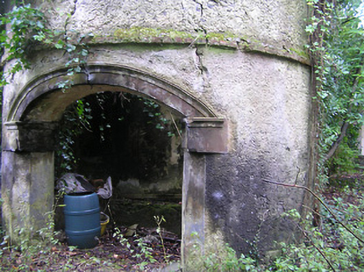 Summerhill Housedovecote/pigeon house/aviary · 1130 yd
 Double lime kilnArchaeological place · 1132 yd
 ‘Kilbline Church (in ruins)’Church · 1179 yd
 Kilbline GraveyardArchaeological place · 1222 yd
 Tullaherin Church and Round TowerVisitor information · 1364 yd
 Ruins of CorbettsWood · 1513 yd
 Bawn in StroanBawn · 1629 yd
 Stroan FountainVisitor information · 1703 yd
 Red BogForest · 1.4 mi
 Time CapsuleMemorial · 2.4 mi
Other information
Photo: Credit not shown in the picture search · Rights wording not checked; contact us if this picture should be removed