
What is recorded here
Situated on a W-facing slope of rising ground in an upland area. Impossible to gain access or examine site due to dense cover of vegetation.
The above description is derived from 'The Archaeological Inventory of County Tipperary. Vol. 1 - North Tipperary' compiled by Jean Farrelly and Caimin O'Brien (Dublin: Stationery Office, 2002). In certain instances the entries have been revised and updated in the light of recent research.
Date of upload/revision: 22 September 2008
The monument record does not grant public access. Check the route and ask the landowner before entering private land.
- What survives
- Recorded monument
Places near here
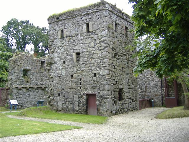 Ecclesiastical enclosure in KilriffetEcclesiastical enclosure · 837 yd
 Site of Bawn CastleCastle, unclassified · 845 yd
 CrossCross, High cross · 940 yd
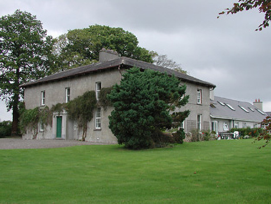 Bayly Farmhouse · 1.1 mi
 Kilmore Househouse · 1.2 mi
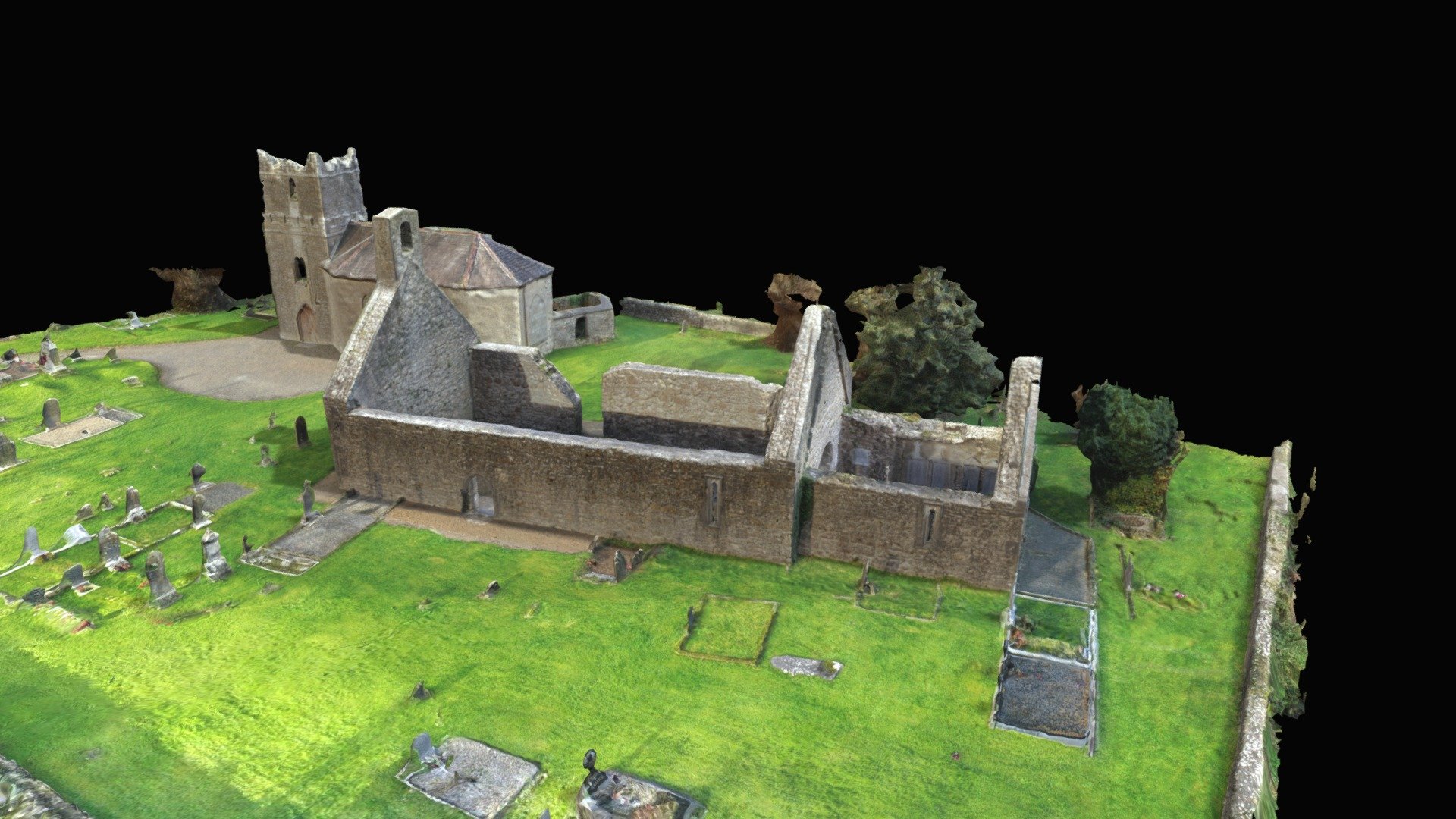 CastleCastle, Anglo-Norman masonry castle · 1.5 mi
 Gibbet HillMountain / peak · 1.8 mi
 Sweet ChestnutSweet Chestnut · 2.1 mi
 Our Lady Assumed into HeavenMemorial · 2.6 mi
 The MinerMemorial · 2.7 mi
 Nenagh Heritage CentreMuseum · 2.8 mi
 Old BarracksHeritage attraction · 2.9 mi
Other information
Photo: Credit not shown in the picture search · Rights wording not checked; contact us if this picture should be removed