What is recorded here
On a slight rise above the W floodplain of the River Nore. The cropmark was identified as the SE quadrant of a double-ditched, roughly D-shaped enclosure (diam. c. 90m NW-SE; c. 50m NE-W) on an aerial photograph (CUCAP ASW 43, 1967). Other cropmarks visible on this aerial photograph include an enclosure (KK009-066004-) c. 160m to the WNW, a ring-ditch (KK009-066003-) c. 170m to the SW and a roadway (KK009-066002-) running N of the ring-ditch up to the SE quadrant of the double-ditched enclosure. These features were not visible at ground level when inspected in 1987. A quarry now occupies the area where these monuments were located.
Compiled by: Jean Farrelly
Date of upload: 9 February 2018
The monument record does not grant public access. Check the route and ask the landowner before entering private land.
- What survives
- Recorded monument
Places near here
 Castle (in Ruins)Castle, tower house · 408 yd
 CastleCastle, unclassified · 444 yd
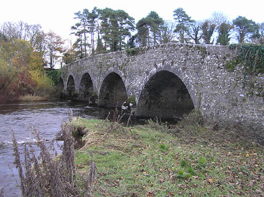 Lismaine Bridgebridge · 468 yd
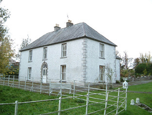 Lismaine Housefarm house · 509 yd
 Enclosure in Clintstown (fassadinin By.)Enclosure · 705 yd
 RathbeaghFairy fort / earthen ringfort · 1557 yd
 Graveyard in ThreecastlesGraveyard · 2.1 mi
 Emma Jane Browne-ClaytonMemorial · 2.2 mi
 Red horse-chestnutRed horse-chestnut · 2.2 mi
 Turkey OakTurkey Oak · 2.4 mi
 Freshford LoopWalking route · 2.7 mi
 Anker's IslandIsland · 5.0 mi