What is recorded here
In rough pasture on a hillock, on the E side of the floor of the valley of the Cooleenlemane River. A circular area (diam 12.3m) is defined by the jumbled remains of a stone wall (T 0.8m; 0.6m) SE-N. Most of the wall is missing N-SE. The level interior is raised (H 0.3m) along the W arc where traces of a stone revetment are displayed, and it is cut into the hillock (D 0.3m) along the E arc. Large stones lie on the perimeter at S. The entrance (Wth 0.9m) is indicated by two upright slabs at N.
The above description is derived from 'The Archaeological Inventory of County Cork. Volume 5' (Dublin: Stationery Office, 2009).
Date of upload: 22 December 2009
The monument record does not grant public access. Check the route and ask the landowner before entering private land.
- What survives
- Recorded monument
Places near here
 Enclosure in InchinagoumEnclosure · 571 yd
 Hut site in InchinagoumHut site · 616 yd
 Coomhola MountainMountain / peak · 997 yd
 The Priest's LeapMountain / peak · 1512 yd
 The Priests LeapViewpoint · 1.0 mi
 Coomhola Salmon Trust (Streamscapes)Museum · 2.2 mi
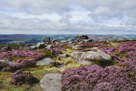 DrehidoughteraghBridge · 2.5 mi
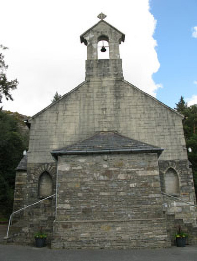 St. Joseph's Roman Catholic Churchchurch/chapel · 2.6 mi
 Daly's LoopWalking route · 2.8 mi
 Snave StrandBeach / strand · 3.3 mi
 Tasmanian bluegumTasmanian bluegum · 3.5 mi
 Calf IslandIslet · 3.5 mi