
What is recorded here
On the steep and irregular SW slopes of a small NW-SE valley. Identified as upstanding enclosures on an aerial photograph (GSI S454; 1:30,000). A roughly square enclosure (dims. c. 30m x 30m) adjoining a larger curvilinear field boundary (KK013-072002-). The enclosure and field boundary are not indicated on the 1st (1839) ed. OS 6-inch map or on the 1900 revision and are possibly part of a relic field system. The field has been reclaimed and the enclosure and field boundary have been levelled, as is visible on satellite imagery (OS Ortho and Digitalglobe, viewed 25 March 2020).
Compiled by: Jean Farrelly
Date of upload: 25 March 2020
The monument record does not grant public access. Check the route and ask the landowner before entering private land.
- What survives
- Recorded monument
Places near here
 Enclosure in HillendEnclosure · 398 yd
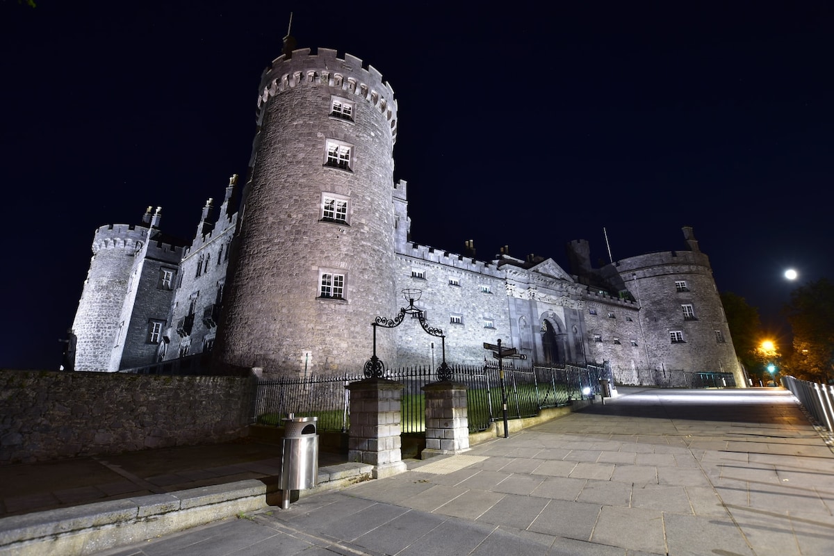 Newengland Ringfort (rath)Archaeological place · 1002 yd
 Church in Killahy (crannagh By.)Church · 1041 yd
 Killahy Castle in ruinsCastle, unclassified · 1267 yd
 Church (in ruins)Church · 1407 yd
 Kildrinagh WoodForest · 1.3 mi
 CastleCastle, ringwork · 2.0 mi
 The CopseWood · 3.1 mi
 Freshford LoopWalking route · 3.8 mi
 Clomantagh HillMountain / peak · 4.4 mi
 Kilcooly AbbeyHeritage attraction · 4.6 mi
 Warhouse HillMountain / peak · 5.1 mi
Other information
Photo: Credit not shown in the picture search · Rights wording not checked; contact us if this picture should be removed