
What is recorded here
In rolling reclaimed grassland. Identified as a roughly circular cropmark (diam. c. 50m) on an aerial photograph (GSI S 447, 1973-7). This possible enclosure is not visible at ground level.
Compiled by: Jean Farrelly
Date of upload: 2 March 2016
The monument record does not grant public access. Check the route and ask the landowner before entering private land.
- What survives
- Recorded monument
Places near here
 Enclosure in Cellarstown West,greenridgeEnclosure · 83 yd
 IndicatedBawn · 389 yd
 Enclosure in SandfordscourtEnclosure · 716 yd
 Rathcoole Church (in ruins)Church · 1532 yd
 Coolbricken Bridgebridge · 1.0 mi
 Gleann Dick ForestForest · 2.0 mi
 Clara CastleCastle, tower house · 2.1 mi
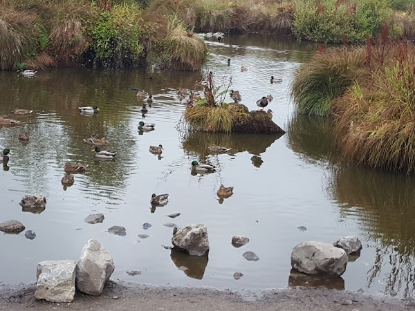 Newpark Marsh ParkNature reserve · 2.3 mi
 J. TobinMemorial · 2.4 mi
 KilkennyVisitor information · 2.6 mi
 Graveyard in Gardens (kilkenny City By., St. John's Par.)Graveyard · 2.7 mi
 Kilkenny County Council Car ParkVisitor information · 2.7 mi
Other information
Photo: Credit not shown in the picture search · Rights wording not checked; contact us if this picture should be removed