What is recorded here
Not marked on OS 1836 or 1876 eds. Much disturbed. A roughly circular area (int. diam. c. 26m) enclosed by a low earthen bank and traces of a narrow, shallow fosse identifiable only from W-NNW. A modern field boundary both abuts and overlies the bank from N-E-S and a very deep drain has also been cut into the site in this area. Original entrance not recognisable. No trace of 'Greaghadossan Cross' noted at the site on the OS 1913 ed. (Davies 1948, 98-9)
The above description is derived from the published 'Archaeological Inventory of County Cavan' (Dublin: Stationery Office, 1995). In certain instances the entries have been revised and updated in the light of recent research.
Date of upload/revision: 22 December 2008
The monument record does not grant public access. Check the route and ask the landowner before entering private land.
- What survives
- Recorded monument
Places near here
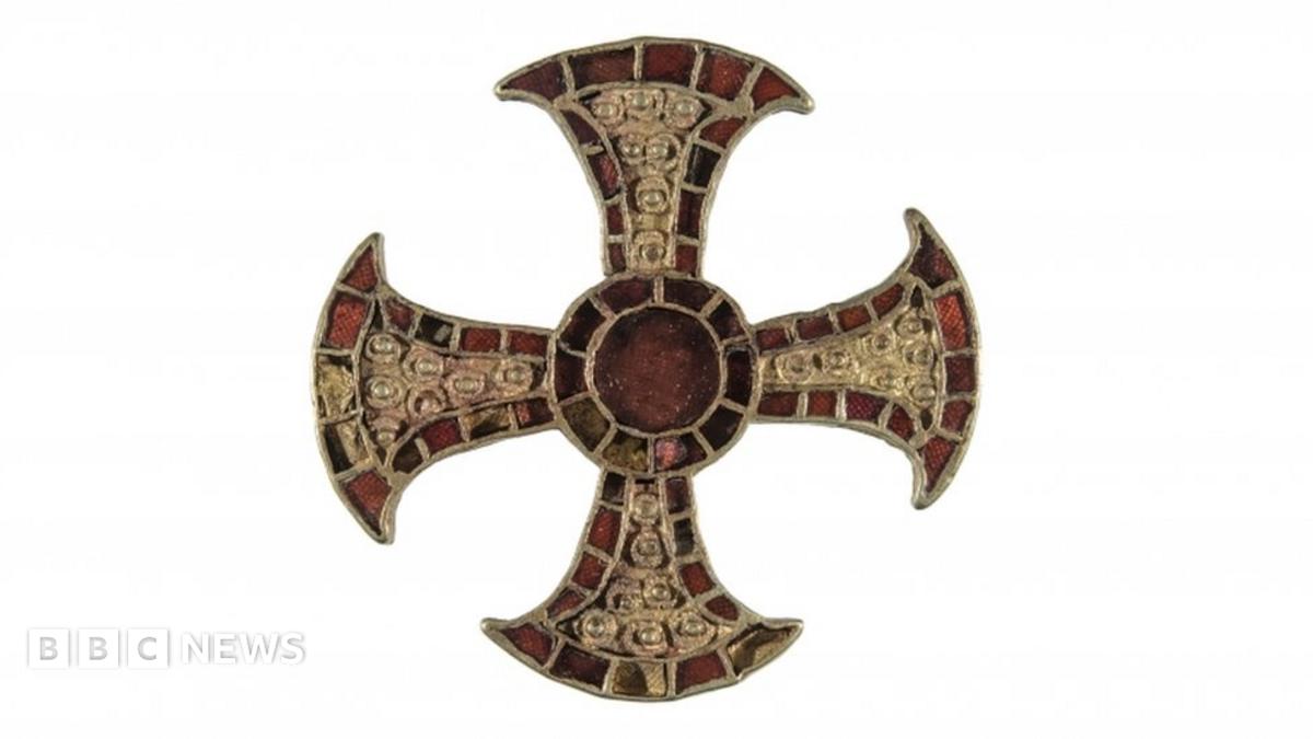 Cross in GreaghadossanCross · 3 yd
 Site of Greaghadossan CrossArchaeological place · 11 yd
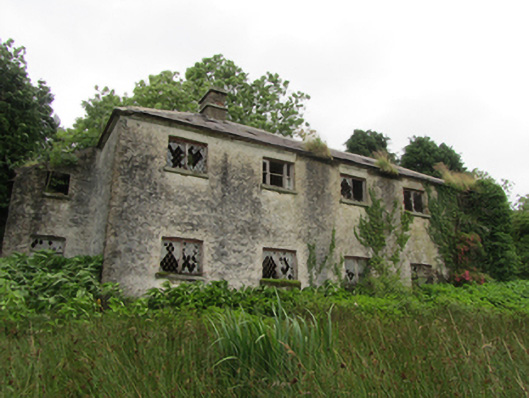 Lismagiril Church of Ireland Schoolschool · 1366 yd
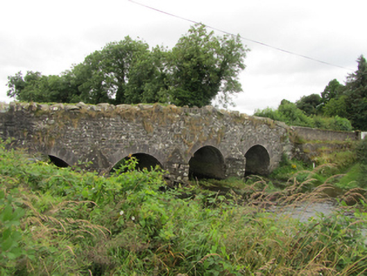 Killinkere Bridgebridge · 1.1 mi
 Beagh GlebeMountain / peak · 1.1 mi
 Beagh Glebe ForestWood · 1.6 mi
 Birthplace of General Philip SheridanMemorial · 1.8 mi
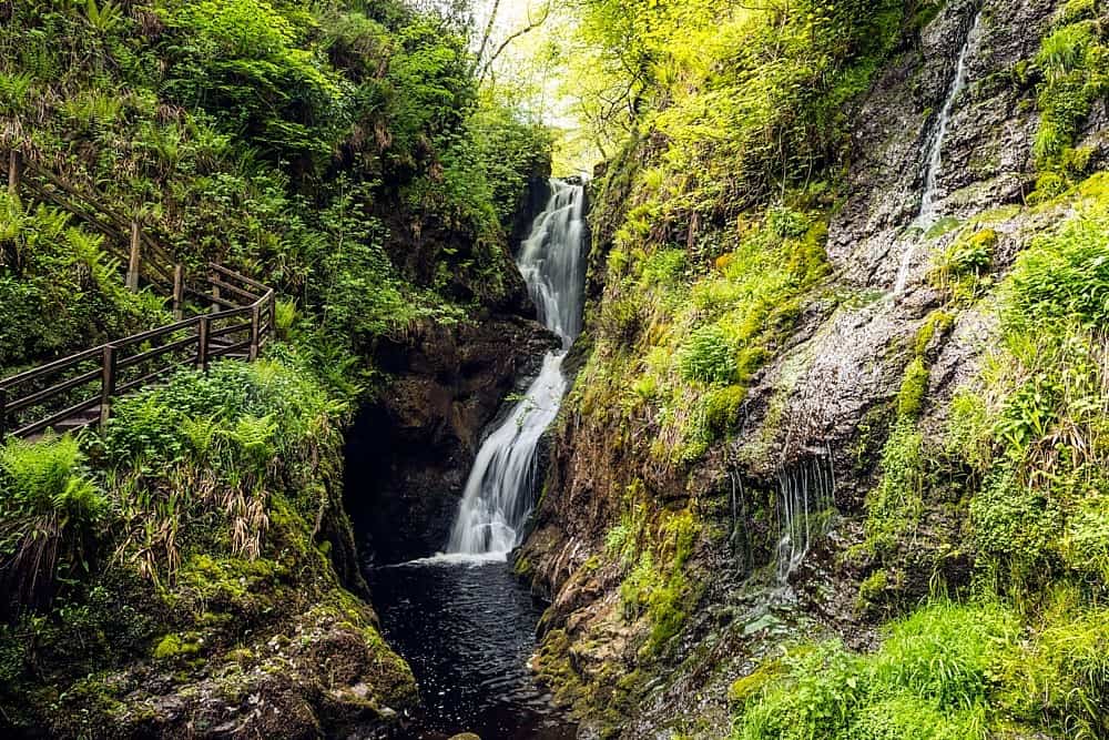 Annagharnet North ForestForest · 1.8 mi
 DrumacarrowMountain / peak · 2.4 mi
 Carraig-na-SasanacNamed rock · 2.6 mi
 The Big Man's GraveArchaeological place · 2.8 mi
 Brothers GravesVisitor information · 3.8 mi