What is recorded here
Aerial photograph (GB89.O.5) shows the cropmark of an oval enclosure, with an entrance facing south, defined by a fosse, and with an attached curvilinear annexe.
Compiled by: Dr. Gillian Barrett
Date of upload: 12 December 2011
The monument record does not grant public access. Check the route and ask the landowner before entering private land.
- What survives
- Recorded monument
Places near here
 .Site of St. Legers CastleCastle, unclassified · 506 yd
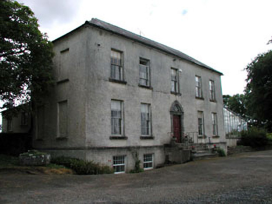 Grangemellon Housefarm house · 526 yd
 Kilmorony House (ruins)Ruins · 870 yd
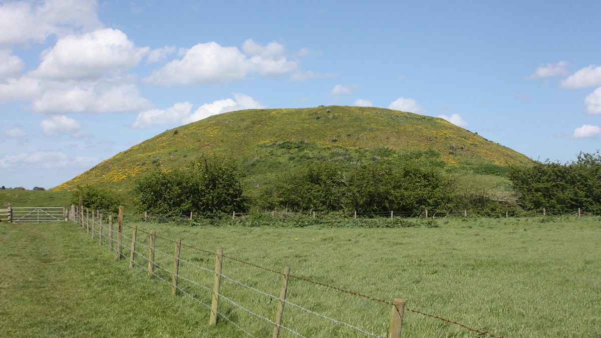 The MoundCastle, motte and bailey · 891 yd
 EnclosureEnclosure, large enclosure · 1091 yd
 Enclosure in BarrowhouseEnclosure · 1255 yd
 Dollardstown WoodForest · 1.5 mi
 Neil HannonMemorial · 1.9 mi
 Scots PineScots Pine · 3.7 mi
 Gorden Bennet Race memorialMemorial · 5.0 mi
 History of Moat of ArdscullVisitor information · 5.0 mi
 Franciscan FriaryHeritage attraction · 5.8 mi