
What is recorded here
On a small hill rising out of bogland in river flood plain, in rolling grassland. There are very good views in all directions. Roughly oval, slightly domed area (int. dims. 72m N-S; 62m E-W) enclosed by a low, wide, stoney bank (Wth 6-8m; int. H 0.6-0.8; ext. H 1.2m) with external fosse (Wth 3-4m; D 0.8m) and low, wide external bank (Wth c. 3m; ext. H c. 0.4-0.6m). The fosse and outer bank have been levelled in the N sector.
There is a ramped entrance (Wth c. 4m) at the NE. There has been quarrying in SW corner of the interior and E of exterior, with a lime kiln in the NE interior of the inner bank. Trees are growing along the inner bank.
Compiled by: Jean Farrelly
Date of upload: 4 October 2017
The monument record does not grant public access. Check the route and ask the landowner before entering private land.
- What survives
- Recorded monument
Places near here
 Enclosure in GrangefertaghEnclosure · 543 yd
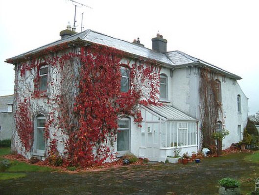 Tullanvoolty Housefarm house · 692 yd
 Enclosure in TullanvooltyEnclosure · 925 yd
 Grangefertagh Castle (site)Archaeological place · 1419 yd
 AbbeyReligious house, Augustinian canons · 1652 yd
 Foulkscourt castle (in ruins)Castle, tower house · 1.1 mi
 DelaneyMemorial · 1.5 mi
 John HelyMemorial · 1.6 mi
 Street fieldArchaeological place · 2.3 mi
 Clomantagh HillMountain / peak · 3.1 mi
 Anker's IslandIsland · 9.1 mi
 European ashEuropean ash · 11 mi
Other information
Photo: Credit not shown in the picture search · Rights wording not checked; contact us if this picture should be removed