What is recorded here
Located on a ridge in undulating ground in pasture with views over the Ox Mountains and Knocknarea. Comprises an oval area (int. dims. 30m by 19m) enclosed by a bank (Wth 3m, H 0.90m) which has the appearance of a stone wall on the W and NW. The entrance is in the NE( Wth 1.70m) with a curving ramp. In the interior is a possible Man-made underground passage (SL020-048002-).
Compiled by : Geraldine Stout
Date of upload: 13 August 2013
The monument record does not grant public access. Check the route and ask the landowner before entering private land.
- What survives
- Recorded monument
Places near here
 CashelFairy fort / stone ringfort · 200 yd
 Carrowmore 32Archaeological place · 277 yd
 Carrowmore Visitors CentreVisitor information · 944 yd
 Carrowmore Megalithic CemeteryHeritage attraction · 1074 yd
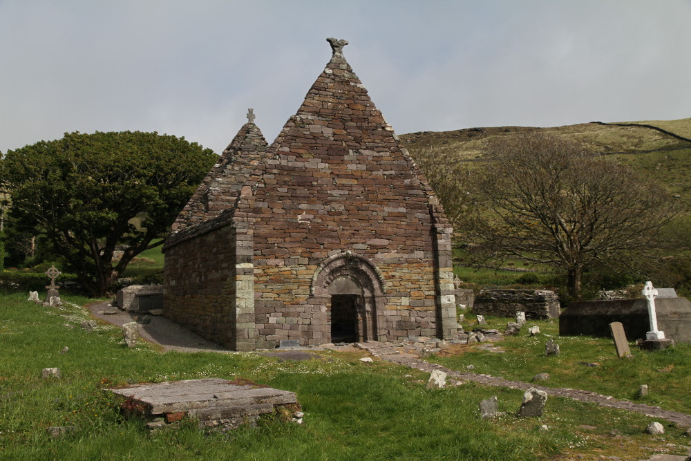 Kilmacowen Church (in Ruins)Church · 1304 yd
 Kiln in BreeogeKiln · 1584 yd
 Castle (in Ruins)Castle, unclassified · 1.6 mi
 CarrigeenfaddaIslet · 1.8 mi
 CastleCastle, unclassified · 2.0 mi
 The GlenWood · 2.0 mi
 Knocknarea trailWalking route · 2.1 mi
 St. John's CathedralMemorial · 2.5 mi